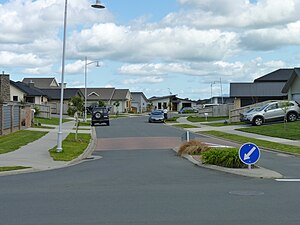
Ashmore is a name used for a suburb in north-eastern Hamilton in New Zealand by Hamilton City Council on its 2010 map[1] and by the developer, CDL Land New Zealand Limited.[2] It is more commonly described as being part of Rototuna North.[3][4][5][6] It is in Rototuna Central census area.[7]
Ashmore | |
|---|---|
 Neighbourhood in Ashmore, Hamilton. | |
 | |
| Coordinates: 37°43′34″S 175°15′48″E / 37.726140°S 175.263347°E | |
| Country | New Zealand |
| City | Hamilton, New Zealand |
| Electoral ward | Hamilton East |
| Horsham Downs | ||
| Magellan Rise |
|
Somerset Heights |
| Rototuna |
References
edit- ^ "Hamilton Map". Hamilton City Council. Archived from the original on 23 September 2010. Retrieved 18 September 2010.
- ^ "SUBDIVISIONS". CDL Land. Archived from the original on 17 December 2018. Retrieved 13 April 2020.
- ^ "Wakefield Place". ketehamilton.peoplesnetworknz.info. Retrieved 13 April 2020.
- ^ "Winchester Place". ketehamilton.peoplesnetworknz.info. Retrieved 13 April 2020.
- ^ "Winchester Place". Google Maps. Retrieved 13 April 2020.
- ^ "Property details for Foxbury Court, Rototuna North, Hamilton, 3210". www.qv.co.nz. Retrieved 13 April 2020.
- ^ "ArcGIS Web Application". statsnz.maps.arcgis.com. Retrieved 13 April 2020.