Size of this preview: 800 × 526 pixels. Other resolutions: 320 × 210 pixels | 640 × 421 pixels | 847 × 557 pixels.
Original file (847 × 557 pixels, file size: 101 KB, MIME type: image/png)
File history
Click on a date/time to view the file as it appeared at that time.
| Date/Time | Thumbnail | Dimensions | User | Comment | |
|---|---|---|---|---|---|
| current | 15:39, 6 September 2012 |  | 847 × 557 (101 KB) | Joadl | Current map |
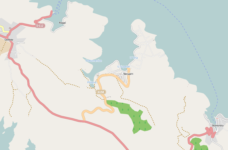
| 19:44, 29 August 2012 |  | 727 × 489 (79 KB) | Joadl | {{Information |Description= {{de|Diese (noch nicht ganz vollständige) Karte (Stand 28. August 2012) des offen Kartenerstellungsprojekts OpenStreetMap zeigt die Gegend von Maslinica auf der Insel Šolta / [[:de:Kroatien... |
File usage
The following page uses this file:
Global file usage
The following other wikis use this file: