Size of this preview: 771 × 599 pixels. Other resolutions: 309 × 240 pixels | 618 × 480 pixels | 988 × 768 pixels | 1,312 × 1,020 pixels.
Original file (1,312 × 1,020 pixels, file size: 1.19 MB, MIME type: image/jpeg)
| This is a file from the Wikimedia Commons. Information from its description page there is shown below. Commons is a freely licensed media file repository. You can help. |
Summary
| Description |
|
| Date | |
| Source | Image edited and uploaded to Commons by Dominik Hundhammer, München, 28 February 2006 |
| Georeferencing | If inappropriate please set warp_status = skip to hide. |
Licensing
|
This work is in the public domain in its country of origin and other countries and areas where the copyright term is the author's life plus 70 years or fewer. | |
| This file has been identified as being free of known restrictions under copyright law, including all related and neighboring rights. | |
File history
Click on a date/time to view the file as it appeared at that time.
| Date/Time | Thumbnail | Dimensions | User | Comment | |
|---|---|---|---|---|---|
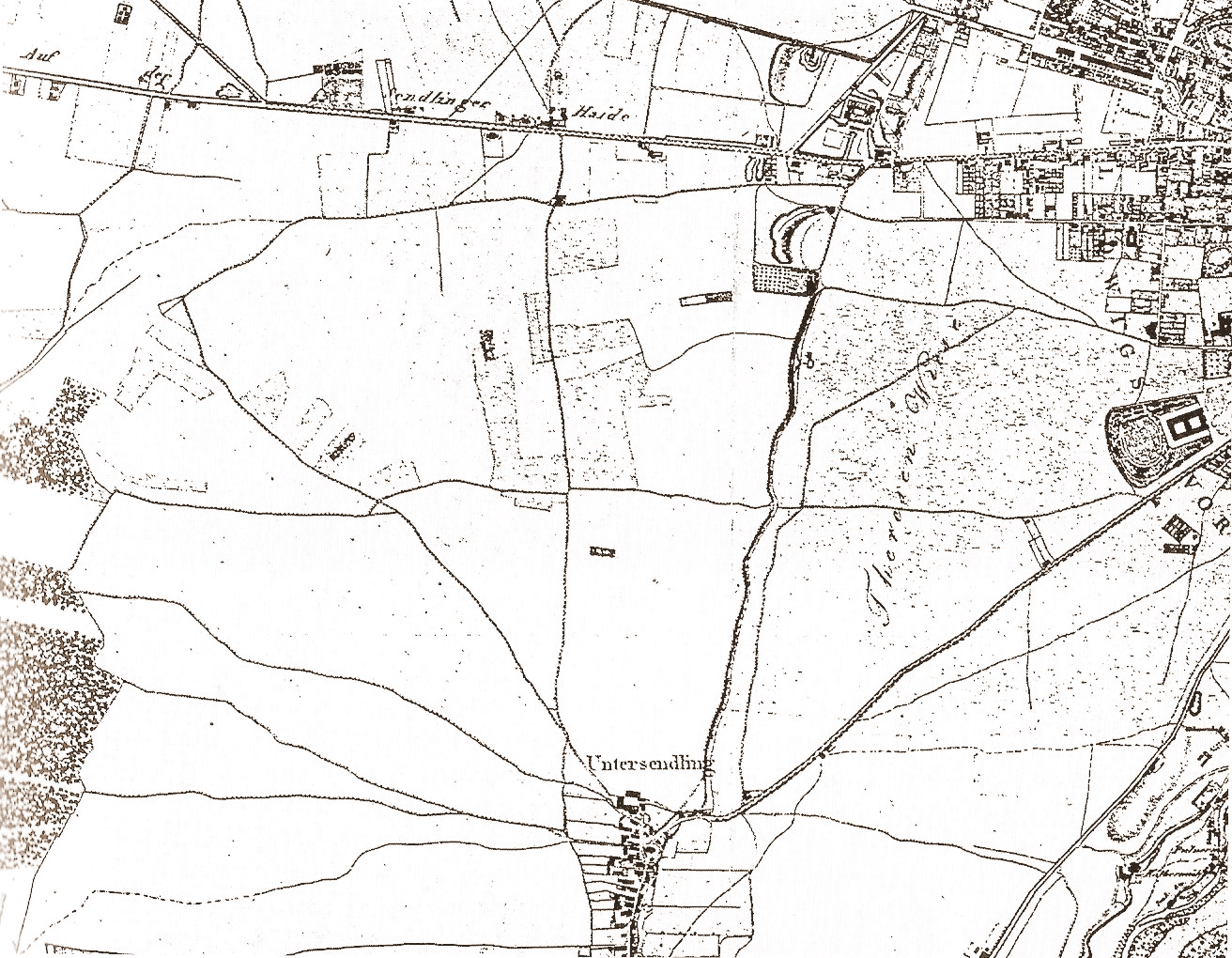
| current | 02:53, 27 February 2006 | | 1,312 × 1,020 (1.19 MB) | Zerohund~commonswiki | Sendling and de:Theresienwiese, map of 1812 Image edited and uploadedto Commons by Dominik Hundhammer, München, 28 February 2006 Category:München. Germany |
| 02:48, 27 February 2006 |  | 1,312 × 1,020 (1.19 MB) | Zerohund~commonswiki | Sendling and de:Theresienwiese, map of 1812 Image edited and uploadedto Commons by Dominik Hundhammer, München, 28 February 2006 Category:München. Germany |
File usage
The following pages on the English Wikipedia use this file (pages on other projects are not listed):
Global file usage
The following other wikis use this file:
- Usage on ar.wikipedia.org
- Usage on ca.wikipedia.org
- Usage on de.wikipedia.org
- Usage on es.wikipedia.org
- Usage on it.wikipedia.org
- Usage on pt.wikipedia.org
- Usage on ru.wikipedia.org
- Usage on vi.wikipedia.org
- Usage on www.wikidata.org