Size of this preview: 363 × 599 pixels. Other resolutions: 145 × 240 pixels | 568 × 937 pixels.
Original file (568 × 937 pixels, file size: 25 KB, MIME type: image/png)
File history
Click on a date/time to view the file as it appeared at that time.
| Date/Time | Thumbnail | Dimensions | User | Comment | |
|---|---|---|---|---|---|
| current | 18:09, 18 November 2017 |  | 568 × 937 (25 KB) | Janitoalevic | Better borders. |
| 18:06, 18 November 2017 |  | 568 × 937 (25 KB) | Janitoalevic | . | |
| 17:31, 4 September 2006 |  | 568 × 937 (61 KB) | Gonzaloluengo | ||
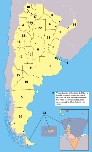
| 16:56, 23 April 2006 |  | 568 × 937 (39 KB) | Misionero~commonswiki | Mapa editado de: Argentina - Político.png {{es|Mapa de las provincias de la República Argentina. Los territorios en anaranjado no están bajo la soberanía argentina: se encuentran ocupados por Inglaterra (Ej:Islas del Atlántico Sur) o es un reclamo e |
File usage
The following 3 pages use this file:
Global file usage
The following other wikis use this file:
- Usage on es.wikipedia.org

