
Size of this PNG preview of this SVG file: 721 × 600 pixels. Other resolutions: 289 × 240 pixels | 577 × 480 pixels | 923 × 768 pixels | 1,231 × 1,024 pixels | 2,462 × 2,048 pixels | 1,136 × 945 pixels.
Original file (SVG file, nominally 1,136 × 945 pixels, file size: 179 KB)
| This is a file from the Wikimedia Commons. Information from its description page there is shown below. Commons is a freely licensed media file repository. You can help. |
Summary
| Description |
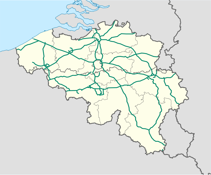
Français : Carte de géolocalisation des autoroutes belges
Limites de la carte:
|
| Date | |
| Source | Carte basée sur le fichier File:Belgium location map.svg |
| Author | Vascer |
Licensing
I, the copyright holder of this work, hereby publish it under the following licenses:

|
Permission is granted to copy, distribute and/or modify this document under the terms of the GNU Free Documentation License, Version 1.2 or any later version published by the Free Software Foundation; with no Invariant Sections, no Front-Cover Texts, and no Back-Cover Texts. A copy of the license is included in the section entitled GNU Free Documentation License. |
This file is licensed under the Creative Commons Attribution-Share Alike 3.0 Unported license.
- You are free:
- to share – to copy, distribute and transmit the work
- to remix – to adapt the work
- Under the following conditions:
- attribution – You must give appropriate credit, provide a link to the license, and indicate if changes were made. You may do so in any reasonable manner, but not in any way that suggests the licensor endorses you or your use.
- share alike – If you remix, transform, or build upon the material, you must distribute your contributions under the same or compatible license as the original.
You may select the license of your choice.
File history
Click on a date/time to view the file as it appeared at that time.
| Date/Time | Thumbnail | Dimensions | User | Comment | |
|---|---|---|---|---|---|
| current | 10:24, 14 March 2010 | | 1,136 × 945 (179 KB) | Vascer | réajustement |
| 21:46, 15 December 2009 |  | 1,136 × 945 (179 KB) | Vascer | {{subst:File:Belgium location map.svg}} |
File usage
No pages on the English Wikipedia use this file (pages on other projects are not listed).
Global file usage
The following other wikis use this file:
- Usage on fr.wikipedia.org
- Échangeur d'Anvers-Sud
- Échangeur d'Heverlee
- Échangeur de Lummen
- Échangeur de Loncin
- Échangeur de Hauts-Sarts
- Échangeur de Cheratte
- Échangeur de Battice
- Carrefour Léonard
- Échangeur de Daussoulx
- Échangeur de Neufchâteau
- Modèle:Infobox Échangeur
- Échangeur de Moorsele
- Échangeur de Haut-Ittre
- Échangeur de Grand-Bigard
- Échangeur d'Heppignies
- Échangeur de Bruges
- Échangeur d'Arquennes
- Échangeur de Destelbergen
- Échangeur de Bois-d'Haine
- Échangeur de Gouy
- Échangeur d'Houdeng-Gœgnies
- Échangeur de Familleureux
- Échangeur d'Hautrage
- Échangeur de Marquain
- Échangeur de Jemappes
- Modèle:Géolocalisation/Belgique (autoroutes)
- Échangeur d'Anvers-Est
- Modèle:Infobox Échangeur/Documentation
- Wikipédia:Atelier graphique/Cartes/Archives/mars 2010
- Échangeur de Charleroi-Nord
- Échangeur de Thiméon
- Échangeur de Grâce-Hollogne