File:Betuweroute.jpg

Betuweroute.jpg (640 × 480 pixels, file size: 229 KB, MIME type: image/jpeg)

Summary

Description
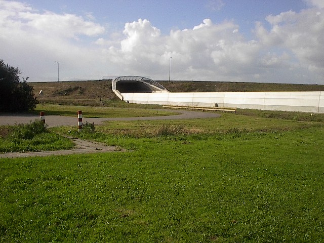
Nederlands: Betuweroute naast een tankstation aan de A15
Date 23 September 2004 (original upload date)
Source Transferred from nl.wikipedia to Commons.
Author The original uploader was LennartBolks at Dutch Wikipedia.
Camera location51° 55′ 25.57″ N, 5° 36′ 05.05″ E  Heading=292.5° Kartographer map based on OpenStreetMap.View this and other nearby images on: OpenStreetMapinfo

Licensing

Public domain This work has been released into the public domain by its author, LennartBolks. This applies worldwide.

In some countries this may not be legally possible; if so:
LennartBolks grants anyone the right to use this work for any purpose, without any conditions, unless such conditions are required by law.

Original upload log

The original description page was here. All following user names refer to nl.wikipedia.
  • 2004-09-23 22:39 LennartBolks 640×480×8 (234213 bytes) Betuweroute naast een tankstation aan de A15, eigen foto, {{PD}}

Captions

Add a one-line explanation of what this file represents

Items portrayed in this file

depicts

23 September 2004

51°55'25.568"N, 5°36'5.051"E

heading: 292.5 degree

image/jpeg

5167a25852e5917a1ff04cb3ab2ab1725663cd40

234,213 byte

480 pixel

640 pixel

File history

Click on a date/time to view the file as it appeared at that time.

Date/TimeThumbnailDimensionsUserComment
current18:06, 4 March 2007Thumbnail for version as of 18:06, 4 March 2007640 × 480 (229 KB)SieBot {{Information |Description=Betuweroute naast een tankstation aan de A15, eigen foto, |Source=Originally from [http://nl.wikipedia.org nl.wikipedia]; description page is/was [http://nl.wikipedia.org/w/index.php?title=Image%3ABetuweroute.jpg here]. |Date=2

The following page uses this file:

Global file usage

The following other wikis use this file: