
Size of this PNG preview of this SVG file: 388 × 599 pixels. Other resolutions: 155 × 240 pixels | 310 × 480 pixels | 497 × 768 pixels | 663 × 1,024 pixels | 1,325 × 2,048 pixels | 677 × 1,046 pixels.
Original file (SVG file, nominally 677 × 1,046 pixels, file size: 173 KB)
| This is a file from the Wikimedia Commons. Information from its description page there is shown below. Commons is a freely licensed media file repository. You can help. |
| Description |
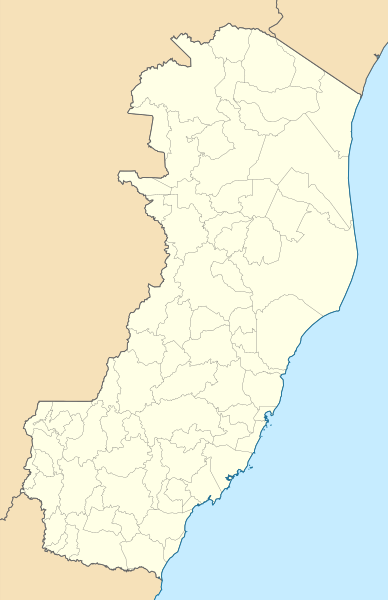
Location map of Espírito Santo state. Equirectangular projection, N/S stretching 106 %. Geographic limits of the map:
|
| Date | (UTC) |
| Source | |
| Author |
|
I, the copyright holder of this work, hereby publish it under the following licenses:
This file is licensed under the Creative Commons Attribution 2.5 Generic license.
- You are free:
- to share – to copy, distribute and transmit the work
- to remix – to adapt the work
- Under the following conditions:
- attribution – You must give appropriate credit, provide a link to the license, and indicate if changes were made. You may do so in any reasonable manner, but not in any way that suggests the licensor endorses you or your use.
| This file is licensed under the Creative Commons Attribution-Share Alike 3.0 Unported license. | ||
| ||
| This licensing tag was added to this file as part of the GFDL licensing update. |

|
Permission is granted to copy, distribute and/or modify this document under the terms of the GNU Free Documentation License, Version 1.2 or any later version published by the Free Software Foundation; with no Invariant Sections, no Front-Cover Texts, and no Back-Cover Texts. A copy of the license is included in the section entitled GNU Free Documentation License. |
You may select the license of your choice.
Uploaded with derivativeFX
File history
Click on a date/time to view the file as it appeared at that time.
| Date/Time | Thumbnail | Dimensions | User | Comment | |
|---|---|---|---|---|---|
| current | 18:23, 18 November 2022 | | 677 × 1,046 (173 KB) | GrandEscogriffe | more correct north-south stretching |
| 23:40, 12 August 2011 |  | 677 × 986 (238 KB) | Milenioscuro | no borders | |
| 23:39, 12 August 2011 |  | 677 × 986 (238 KB) | Milenioscuro | {{Information |Description=Location map of Espirito Santo state |Source=*File:EspiritoSanto_MesoMicroMunicip.svg |Date=2011-08-12 23:38 (UTC) |Author=*File:EspiritoSanto_MesoMicroMunicip.svg: Raphael Lorenzeto de Abreu *derivative work: ~~~ |P |
File usage
The following pages on the English Wikipedia use this file (pages on other projects are not listed):
Global file usage
The following other wikis use this file:
- Usage on de.wikipedia.org
- Usage on es.wikipedia.org
- Usage on fr.wikipedia.org
- Vitória (Espírito Santo)
- Cachoeiro de Itapemirim
- Nova Venécia
- Santa Teresa (Brésil)
- Pico da Bandeira
- Cariacica
- Colatina
- São Mateus (Espírito Santo)
- Serra (Espírito Santo)
- Domingos Martins
- Castelo (Espírito Santo)
- Baixo Guandu
- Vargem Alta
- Mimoso do Sul
- Mucurici
- Santa Leopoldina
- Wikipédia:Atelier modèle de géolocalisation
- Anchieta (Espírito Santo)
- Afonso Cláudio
- Águia Branca
- Água Doce do Norte
- Alegre
- Alfredo Chaves
- Alto Rio Novo
- Apiacá (Espírito Santo)
- Aracruz
- Atílio Vivácqua
- Barra de São Francisco
- Boa Esperança (Espírito Santo)
- Bom Jesus do Norte
- Brejetuba
- Conceição da Barra
- Conceição do Castelo
- Divino de São Lourenço
- Dores do Rio Preto
- Ecoporanga
- Governador Lindenberg
- Guaçuí
- Ibatiba
- Ibiraçu
- Ibitirama
View more global usage of this file.