No higher resolution available.
Bulgaria_Administrative_Provinces.png (548 × 361 pixels, file size: 20 KB, MIME type: image/png)
| This is a file from the Wikimedia Commons. Information from its description page there is shown below. Commons is a freely licensed media file repository. You can help. |
Summary
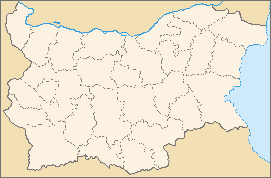
| Description |
English: Administartive map of Bulgaria, showing the provinces |
| Date | |
| Source | Bulgaria Provinces Map Blank.png |
| Author | I, the uploader of this image only have painted one province in yellow, you can see the contributors and authors of the image I have edited here: Bulgaria Provinces Map Blank.png |
Licensing
I, the copyright holder of this work, hereby publish it under the following license:
This file is licensed under the Creative Commons Attribution-Share Alike 3.0 Unported license.
- You are free:
- to share – to copy, distribute and transmit the work
- to remix – to adapt the work
- Under the following conditions:
- attribution – You must give appropriate credit, provide a link to the license, and indicate if changes were made. You may do so in any reasonable manner, but not in any way that suggests the licensor endorses you or your use.
- share alike – If you remix, transform, or build upon the material, you must distribute your contributions under the same or compatible license as the original.
File history
Click on a date/time to view the file as it appeared at that time.
| Date/Time | Thumbnail | Dimensions | User | Comment | |
|---|---|---|---|---|---|
| current | 12:56, 19 February 2011 | | 548 × 361 (20 KB) | Pensionero | {{Information |Description ={{en|1=Administartive map of Bulgaria, showing the provinces}} |Source =File:Bulgaria Provinces Map Blank.png |Author =I, the uploader of this image only have painted one province in yellow, you can see |
File usage
The following 5 pages use this file:
Global file usage
The following other wikis use this file:
- Usage on ar.wikipedia.org
- بلغاريا
- مقاطعات بلغاريا
- برنيك
- مقاطعة بورغاس
- مقاطعة غابروفو
- مقاطعة خاسكوفو
- مقاطعة كرجالي
- مقاطعة كيوستنديل
- مقاطعة لوفتش
- مقاطعة مونتانا
- مقاطعة بزارجق
- مقاطعة بلوفديف
- مقاطعة رازغراد
- مقاطعة روسه
- مقاطعة شومن
- مقاطعة سيليسترا
- مقاطعة سليفن
- مقاطعة ستارا زاغورا
- مقاطعة تارغوفيشته
- مقاطعة فليكو تارنوفو
- مقاطعة يامبول
- مقاطعة فيدين
- مقاطعة برنيك
- مقاطعة دوبريتش
- مقاطعة بلاغويفغراد
- مقاطعة فارنا
- مقاطعة صوفيا
- مقاطعة بلفن
- مقاطعة فراتسا
- مقاطعة سموليان
- مقاطعة مدينة صوفيا
- قالب:خريطة مقاطعات بلغاريا
- Usage on azb.wikipedia.org
View more global usage of this file.