File:Butternut Valley Township Plat Map from the Standard Atlas, Blue Earth County, Minnesota.jpg

Size of this preview: 529 × 600 pixels. Other resolutions: 212 × 240 pixels | 423 × 480 pixels | 1,000 × 1,134 pixels.
Original file (1,000 × 1,134 pixels, file size: 183 KB, MIME type: image/jpeg)
| This is a file from the Wikimedia Commons. Information from its description page there is shown below. Commons is a freely licensed media file repository. You can help. |
Summary
| Description |
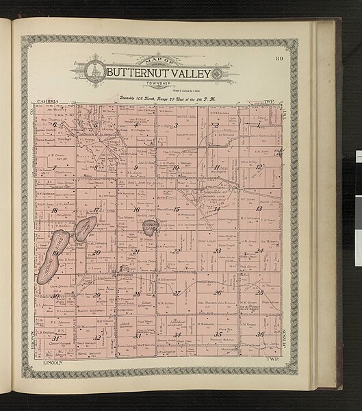
English: "Standard Atlas of Blue Earth County, Minnesota, including a plat book of the villages, cities and townships of the county. Map of the state, United States and World. Patrons Directory, Reference Business Directory and Departments devoted to General Information. Analysis of the system of U. S. Land Surveys, digest of the system of civil government, etc. etc." Also includes business advertisements and photographs of some county officials, residents, and buildings. Butternut Valley Township, Page 89. |
|||||||||||||||||
| Date | ||||||||||||||||||
| Source |
|
|||||||||||||||||
| Author | Geo. A. Ogle & Co., Publishers and Engravers | |||||||||||||||||
| Standardized rights statement |
|
|||||||||||||||||
Licensing
This work is in the public domain in the United States because it was published (or registered with the U.S. Copyright Office) before January 1, 1929.
Public domain works must be out of copyright in both the United States and in the source country of the work in order to be hosted on the Commons. If the work is not a U.S. work, the file must have an additional copyright tag indicating the copyright status in the source country.
Note: This tag should not be used for sound recordings. |
File history
Click on a date/time to view the file as it appeared at that time.
| Date/Time | Thumbnail | Dimensions | User | Comment | |
|---|---|---|---|---|---|
| current | 18:54, 31 May 2023 | | 1,000 × 1,134 (183 KB) | BECHSArchives | Uploaded a work by Geo. A. Ogle & Co., Publishers and Engravers from https://collection.mndigital.org/catalog/blue:2337#?c=&m=&s=&cv=46&xywh=-1273%2C-1%2C7678%2C5824 with UploadWizard |
File usage
The following page uses this file: