No higher resolution available.
Flag-map_of_Uruguay.png (465 × 487 pixels, file size: 34 KB, MIME type: image/png)
| This is a file from the Wikimedia Commons. Information from its description page there is shown below. Commons is a freely licensed media file repository. You can help. |

|
File:Flag-map of Uruguay.svg is a vector version of this file. It should be used in place of this PNG file when not inferior.
File:Flag-map of Uruguay.png → File:Flag-map of Uruguay.svg
For more information, see Help:SVG. |
 |
Summary
| Description |
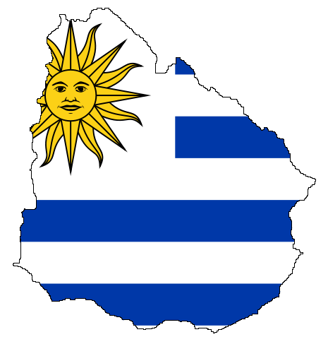
English: Flag-map of Uruguay
Русский: Флаг-карта Уругвая
Українська: Прапор-мапа Уругваю |
| Date | 8 June 2008 (upload date) |
| Source | Own work |
| Author | Andriyko_UA |
Licensing
| I, the copyright holder of this work, release this work into the public domain. This applies worldwide. In some countries this may not be legally possible; if so: I grant anyone the right to use this work for any purpose, without any conditions, unless such conditions are required by law. |
File history
Click on a date/time to view the file as it appeared at that time.
| Date/Time | Thumbnail | Dimensions | User | Comment | |
|---|---|---|---|---|---|
| current | 12:13, 8 June 2008 | | 465 × 487 (34 KB) | Andriyko UA | {{Information |Description={{en|1=Flag-map of Uruguay}} {{ru|1=Флаг-карта Уругвая}} {{uk|1=Прапор-мапа Уругваю}} |Source=Own work |Author=Andriyko_UA |Date=08.06.2008 |Permission= |other_versions= }} {{ImageUpload|full}} |
File usage
The following 75 pages use this file:
- 1851 Boundary Treaty (Brazil–Uruguay)
- Arapey Chico River
- Arapey Grande River
- Arerunguá
- Argentina–Uruguay border
- Arroyo Canelón Grande
- Arroyo Carpinchurí
- Arroyo Chapicuy Grande
- Arroyo Tropa Vieja
- Arroyo de Toledo
- Arroyo de la India Muerta
- Arroyo de las Piedras
- Barra del Indio
- Brazil–Uruguay border
- Camacho Formation
- Caraguatá River
- Carrasco Creek
- Cebollatí River
- Chamangá River
- Colonia Department
- Colorado Creek
- Cuchilla Grande
- Cuchilla Grande Inferior
- Cuchilla de Belén
- Cuchilla de Haedo
- Daymán River
- Dolores Formation, Uruguay
- Extreme points of Uruguay
- Fray Bentos Formation
- Grande River (Uruguay)
- Illescas Batholith
- Jaguarão River
- Lagoon Mirim
- Laguna Garzón
- Laguna José Ignacio
- Laguna Negra, Uruguay
- Laguna de Castillos
- Laguna de Rocha
- Libertad Formation
- Miguelete Creek
- Olimar Chico River
- Olimar Grande River
- Pando Creek
- Pantanoso Creek
- Porongos River
- Quaraí River
- Queguay Chico River
- Queguay Formation
- Queguay Grande River
- Raigón Formation
- Rincón del Bonete Lake
- Rosario River (Uruguay)
- Río Negro (Uruguay)
- San Gregorio Formation, Uruguay
- San José Formation, Uruguay
- San José River (Uruguay)
- San Juan River (Uruguay)
- San Luis River
- San Salvador River (Uruguay)
- Santa Lucía Chico
- Santa Lucía River
- Sierra de las Ánimas
- Solís Chico Creek
- Solís Grande Creek
- Sopas Formation
- Tacuarembó River
- Tacuarí River
- Time in Uruguay
- Timoteo Domínguez Island
- Tres Islas Formation
- Yaguarí Formation
- Yí River
- Template:Uruguay-geo-stub
- Template:Uruguay-lake-stub
- Template:Uruguay-river-stub