Size of this preview: 596 × 600 pixels. Other resolutions: 239 × 240 pixels | 477 × 480 pixels | 656 × 660 pixels.
Original file (656 × 660 pixels, file size: 881 KB, MIME type: image/png)
File history
Click on a date/time to view the file as it appeared at that time.
| Date/Time | Thumbnail | Dimensions | User | Comment | |
|---|---|---|---|---|---|
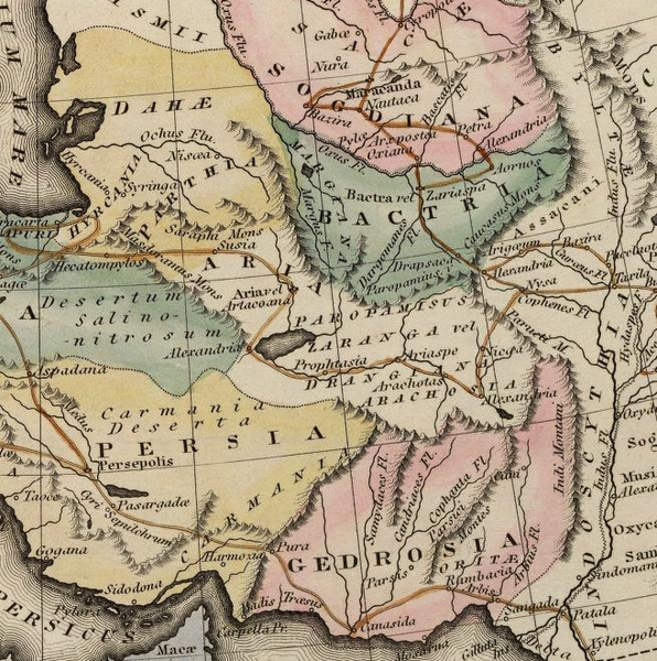
| current | 17:51, 29 November 2007 |  | 656 × 660 (881 KB) | Bejnar | {{Information |Description=Map of the route of Alexander the Great through Gedrosia, Bactria, and Sogdiana part of a map entitled "Alexandri Magni Itinera" based upon Melish (1815) ''Atlas of Ancient Geography'' |Source= scanned from Plate 12 of ''A gener |
File usage
The following 3 pages use this file:
Global file usage
The following other wikis use this file:
- Usage on ar.wikipedia.org
- Usage on bg.wikipedia.org
- Usage on ca.wikipedia.org
- Usage on cs.wikipedia.org
- Usage on cv.wikipedia.org
- Usage on de.wikipedia.org
- Usage on eo.wikipedia.org
- Usage on fr.wikipedia.org
- Usage on hr.wikipedia.org
- Usage on hyw.wikipedia.org
- Usage on id.wikipedia.org
- Usage on it.wikipedia.org
- Usage on ko.wikipedia.org
- Usage on nl.wikipedia.org
- Usage on pl.wikipedia.org
- Usage on pt.wikipedia.org
- Usage on ru.wikipedia.org
- Usage on sh.wikipedia.org
- Usage on tr.wikipedia.org
- Usage on uk.wikipedia.org
- Usage on vi.wikipedia.org
- Usage on www.wikidata.org
