.jpg)
.jpg&action=edit&redlink=1)
Size of this preview: 800 × 533 pixels. Other resolutions: 320 × 213 pixels | 640 × 427 pixels | 1,024 × 683 pixels | 1,280 × 853 pixels | 2,560 × 1,707 pixels | 3,216 × 2,144 pixels.
Original file (3,216 × 2,144 pixels, file size: 3.46 MB, MIME type: image/jpeg)
| This is a file from the Wikimedia Commons. Information from its description page there is shown below. Commons is a freely licensed media file repository. You can help. |
.jpg)
Summary
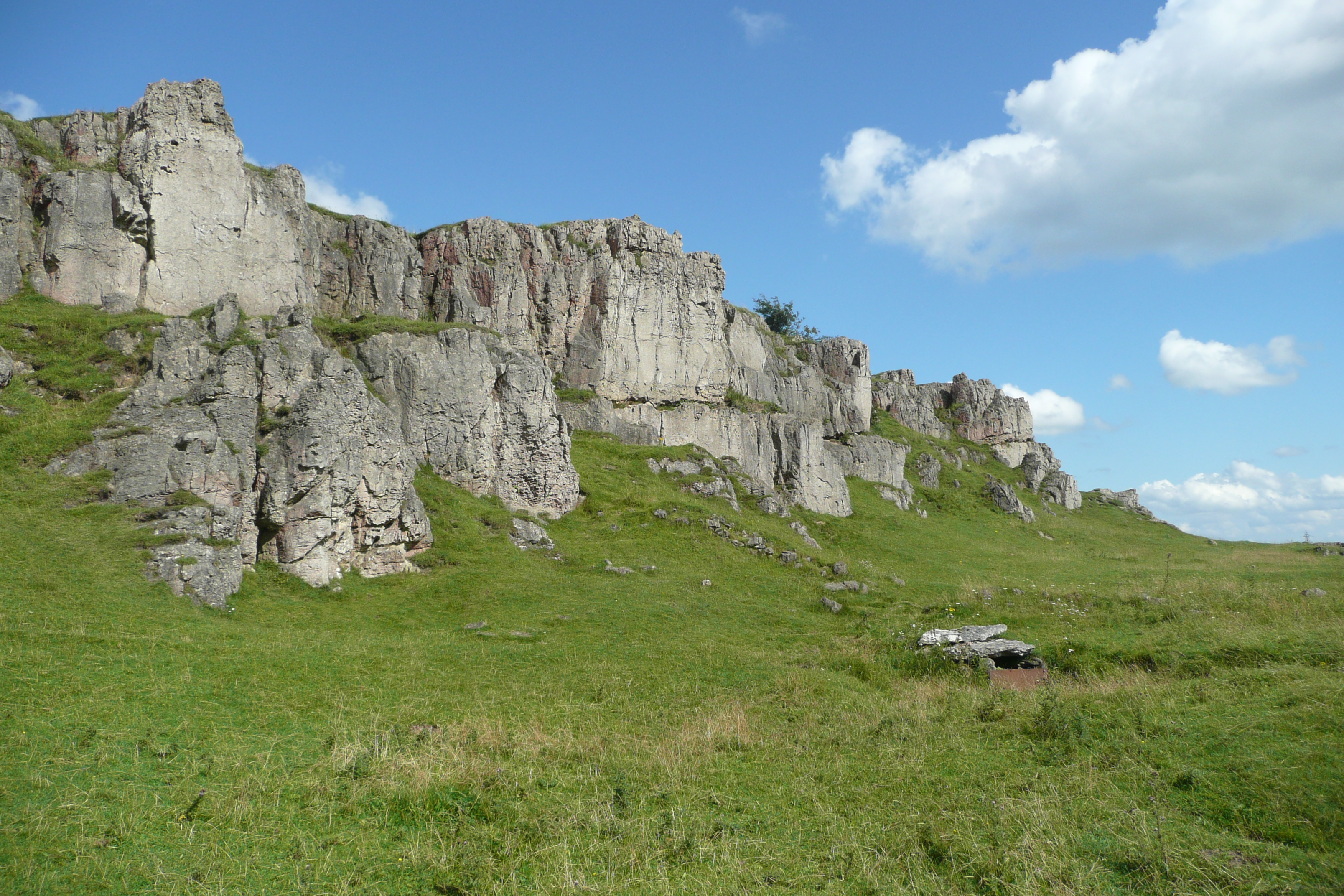
| Description | Just off the High Peak Trail, the Harboro' Rocks provide a grand viewpoint across Carsington Water and southern Derbyshire |
| Date | |
| Source | Harboro' Rocks |
| Author | Paul Stephenson from London |
| Camera location | | View this and other nearby images on: OpenStreetMap |
|---|
.jpg¶ms=053.092020_N_-001.638722_E_globe:Earth_type:camera_source:Flickr_&language=en)
Licensing
This file is licensed under the Creative Commons Attribution 2.0 Generic license.
- You are free:
- to share – to copy, distribute and transmit the work
- to remix – to adapt the work
- Under the following conditions:
- attribution – You must give appropriate credit, provide a link to the license, and indicate if changes were made. You may do so in any reasonable manner, but not in any way that suggests the licensor endorses you or your use.
| This image was originally posted to Flickr by Paul Stephenson at https://flickr.com/photos/25979189@N00/7872912792. It was reviewed on 19 March 2017 by FlickreviewR and was confirmed to be licensed under the terms of the cc-by-2.0. |
File history
Click on a date/time to view the file as it appeared at that time.
| Date/Time | Thumbnail | Dimensions | User | Comment | |
|---|---|---|---|---|---|
| current | 07:23, 19 March 2017 | | 3,216 × 2,144 (3.46 MB) | Спасимир | Transferred from Flickr via Flickr2Commons |
File usage
The following page uses this file:
.jpg)