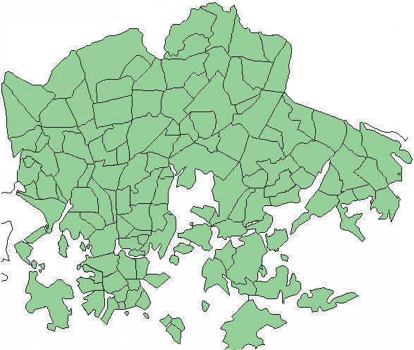
Helsinki_districts5.png (587 × 496 pixels, file size: 46 KB, MIME type: image/png)
File history
Click on a date/time to view the file as it appeared at that time.
| Date/Time | Thumbnail | Dimensions | User | Comment | |
|---|---|---|---|---|---|
| current | 10:47, 23 July 2006 |  | 587 × 496 (46 KB) | MFantti~commonswiki | {{Information |Description=Updated map of Helsinki districts (Kaupunginosat ja osa-alueet). Now including Mustikkamaa-Korkeasaari, Eira, Ullanlinna and Kaivopuisto among others. |Source=a public domain map edited by ~~~ |Date=July 23 2006 |Author=~~~ |Per |
File usage
No pages on the English Wikipedia use this file (pages on other projects are not listed).
Global file usage
The following other wikis use this file:
- Usage on fi.wikipedia.org
- Usage on hu.wikipedia.org


