File:Karte Deutschland.svg

Original file (SVG file, nominally 592 × 801 pixels, file size: 208 KB)

Description
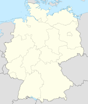
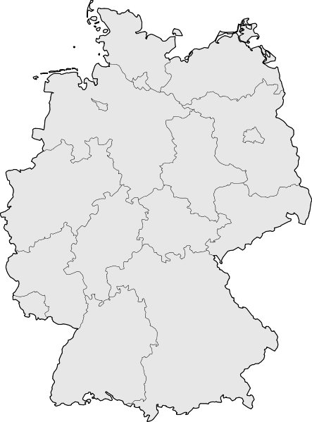
Deutsch: Karte der Bundesrepublik Deutschland mit den Grenzen der 16 Bundesländer.
Warning Dieses Bild ist kein Ersatz für das nach wie vor häufig verwendete Bild Image:Karte Deutschland.png, da die Schnittkanten vollkommen verschieden sind. Genauer gesagt ist der Blattschnitt für diese SVG-Version unbekannt. Sie ist deshalb für die Verwendung innerhalb von Vorlagen ungeeignet. Bitte ggf. Image:Germany location map.svg benutzen.
English: Map of Germany with the borders of the 16 federal states.
Warning This map is not identical to Image:Karte Deutschland.png because the cutting edges are completely different. Please use Image:Germany location map.svg.
Date
Source Based on Image:Karte Deutsche Bundesländer (nummeriert).svg, color scheme of Image:Karte Deutschland.png applied.
Author David Liuzzo
Permission
(Reusing this file)
w:en:Creative Commons
attribution share alike
This file is licensed under the Creative Commons Attribution-Share Alike 2.0 Germany license.
You are free:
  • to share – to copy, distribute and transmit the work
  • to remix – to adapt the work
Under the following conditions:
  • attribution – You must give appropriate credit, provide a link to the license, and indicate if changes were made. You may do so in any reasonable manner, but not in any way that suggests the licensor endorses you or your use.
  • share alike – If you remix, transform, or build upon the material, you must distribute your contributions under the same or compatible license as the original.
Other versions

Derivative works of this file:


SVG development
InfoField
 
The SVG code is valid.
 
This map was created with Adobe Illustrator, with Sodipodi

Captions

Add a one-line explanation of what this file represents

Items portrayed in this file

depicts

20 August 2007

File history

Click on a date/time to view the file as it appeared at that time.

Date/TimeThumbnailDimensionsUserComment
current08:51, 18 March 2008Thumbnail for version as of 08:51, 18 March 2008592 × 801 (208 KB)TMgBorder lines a little bit darker so they are equal when viewing both images in the same size, e.g. 140px.
20:34, 20 August 2007Thumbnail for version as of 20:34, 20 August 2007592 × 801 (209 KB)Kjunix{{Information| |Description= {{de|Karte der Bundesrepublik Deutschland mit eingezeichneten Grenzen der Bundesländer.}} |Source=based on Karte Deutsche Bundesländer (nummeriert).svg, color schem
No pages on the English Wikipedia use this file (pages on other projects are not listed).

Global file usage

Metadata