Size of this preview: 795 × 600 pixels. Other resolutions: 318 × 240 pixels | 637 × 480 pixels | 1,018 × 768 pixels | 1,176 × 887 pixels.
Original file (1,176 × 887 pixels, file size: 844 KB, MIME type: image/jpeg)
| This is a file from the Wikimedia Commons. Information from its description page there is shown below. Commons is a freely licensed media file repository. You can help. |
Summary
| Description |
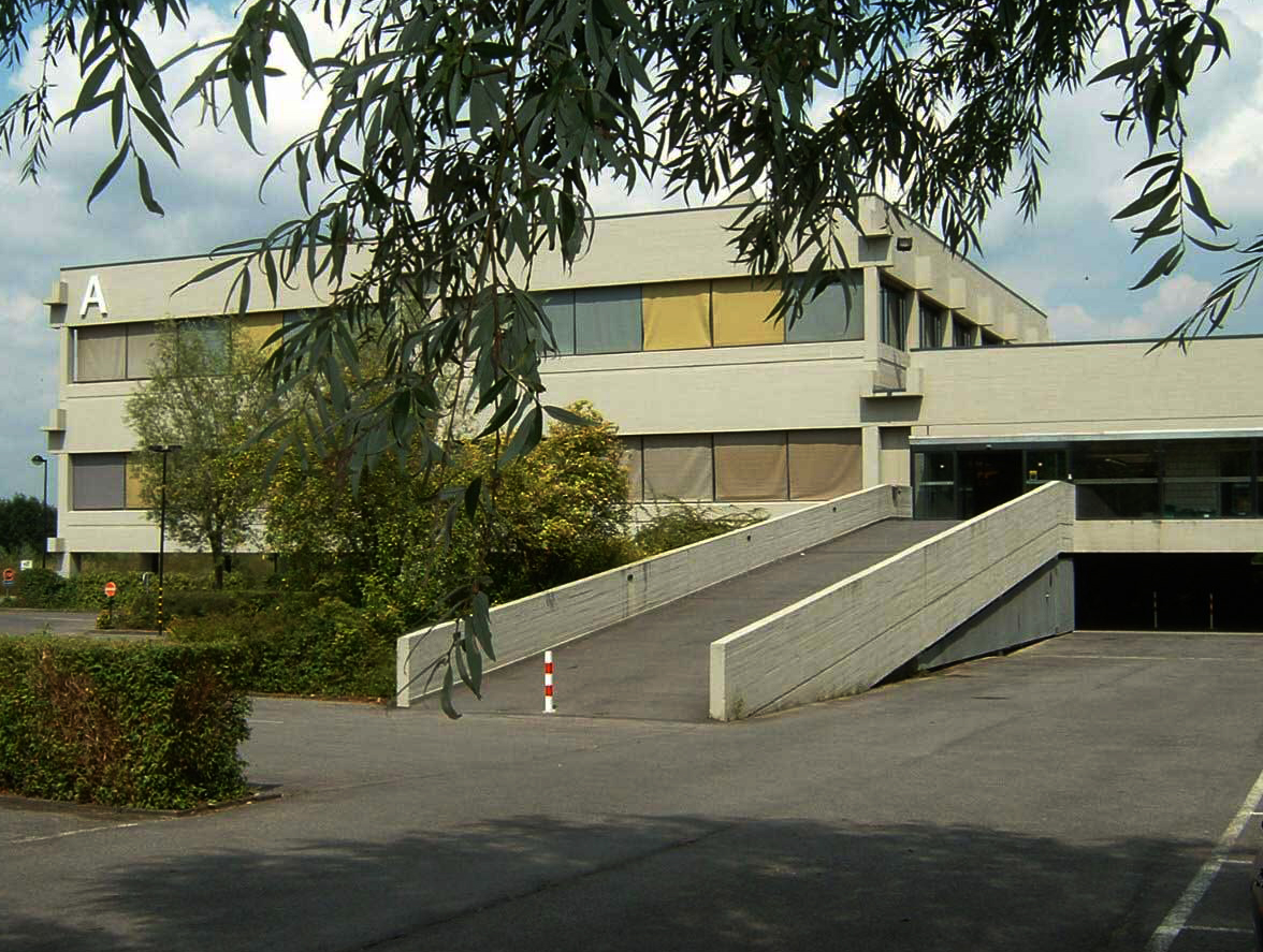
English: Building A of the Kortrijk University KULaK
Nederlands: Gebouw A van de Kortrijkse Universiteit KULAK |
| Date | |
| Source | Own work |
| Author | Speha702 |
| Openstreetmap entry | Link to Openstreetmap |
| Object location | | View this and other nearby images on: OpenStreetMap |
|---|
Licensing
| I, the copyright holder of this work, release this work into the public domain. This applies worldwide. In some countries this may not be legally possible; if so: I grant anyone the right to use this work for any purpose, without any conditions, unless such conditions are required by law. |
File history
Click on a date/time to view the file as it appeared at that time.
| Date/Time | Thumbnail | Dimensions | User | Comment | |
|---|---|---|---|---|---|
| current | 14:50, 1 December 2009 | | 1,176 × 887 (844 KB) | Speha702 | {{Information |Description={{en|1=Building A of the Kortrijk University KULCK}} {{nl|1=Gebouw A van de Kortrijkse Universiteit KULAK}} |Source={{own}} |Author=Speha702 |Date=7 augustus 2009 |Permission= |other_versions= }} [[Category:KU |
File usage
The following pages on the English Wikipedia use this file (pages on other projects are not listed):
Global file usage
The following other wikis use this file:
- Usage on de.wikipedia.org
- Usage on es.wikipedia.org
- Usage on fr.wikipedia.org
- Usage on nl.wikipedia.org