
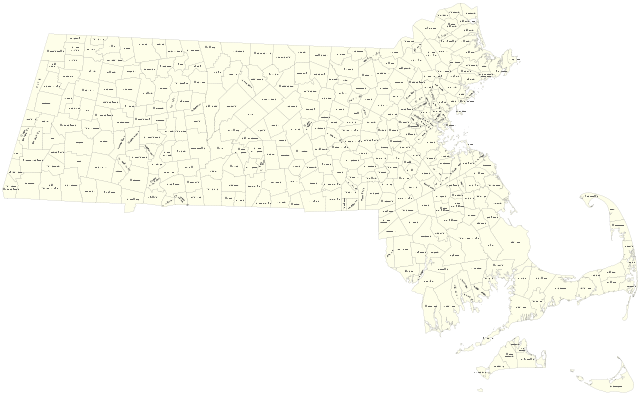
Size of this PNG preview of this SVG file: 800 × 495 pixels. Other resolutions: 320 × 198 pixels | 640 × 396 pixels | 1,024 × 634 pixels | 1,280 × 792 pixels | 2,560 × 1,585 pixels | 2,100 × 1,300 pixels.
Original file (SVG file, nominally 2,100 × 1,300 pixels, file size: 1.95 MB)
| This is a file from the Wikimedia Commons. Information from its description page there is shown below. Commons is a freely licensed media file repository. You can help. |
Summary
| Description |
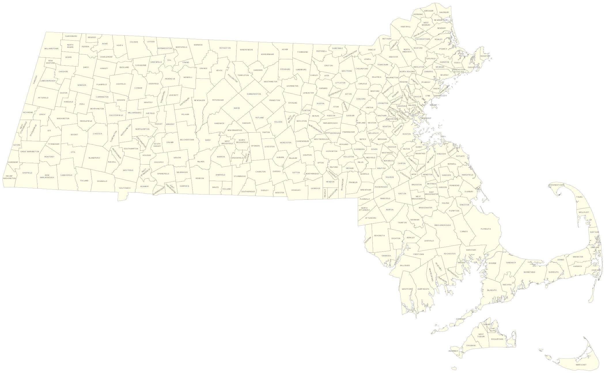
English: Map of cities and towns in Massachusetts |
| Date | |
| Source | Own work by uploader, using Quantum GIS and Inkscape based on public data from Office of Geographic and Environmental Information (MassGIS), Commonwealth of Massachusetts Executive Office of Environmental Affairs - http://www.mass.gov/mgis/dd-over.htm |
| Author | Sswonk |
| SVG development |
Licensing
| I, the copyright holder of this work, release this work into the public domain. This applies worldwide. In some countries this may not be legally possible; if so: I grant anyone the right to use this work for any purpose, without any conditions, unless such conditions are required by law. |
File history
Click on a date/time to view the file as it appeared at that time.
| Date/Time | Thumbnail | Dimensions | User | Comment | |
|---|---|---|---|---|---|
| current | 15:25, 11 May 2009 | | 2,100 × 1,300 (1.95 MB) | Sswonk | Minor label positioning tweaks |
| 04:18, 11 May 2009 |  | 2,100 × 1,300 (1.97 MB) | Sswonk | {{Information |Description={{en|1=Map of cities and towns in Massachusetts}} |Source=Own work by uploader, using Quantum GIS and Inkscape based on public data from Office of Geographic and Environmental Information (MassGIS), Commonwealth of Massachusetts |
File usage
No pages on the English Wikipedia use this file (pages on other projects are not listed).