No higher resolution available.
NG49-9_dongxingxiang_crop.png (660 × 488 pixels, file size: 833 KB, MIME type: image/png)
Summary
edit
| Description |
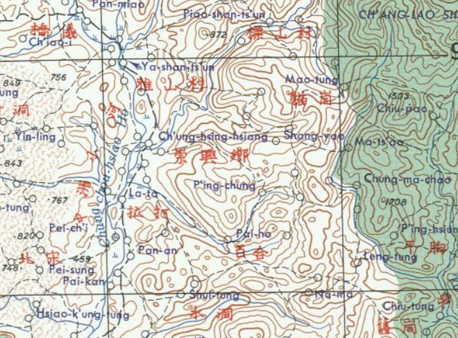
English: China AMS Topographic Maps |
|---|---|
| Source | |
| Date |
1950s |
| Author | |
| Permission (Reusing this file) |
See below.
|
Licensing
edit
| This image or file is a work of a U.S. Army employee, taken or made as part of that person's official duties. As a work of the U.S. federal government, the image is in the public domain in the United States. |  |
File history
Click on a date/time to view the file as it appeared at that time.
| Date/Time | Thumbnail | Dimensions | User | Comment | |
|---|---|---|---|---|---|
| current | 14:53, 23 May 2020 | | 660 × 488 (833 KB) | Alexceltare2 (talk | contribs) |
You cannot overwrite this file.
File usage
The following pages on the English Wikipedia use this file (pages on other projects are not listed):