
Size of this preview: 759 × 600 pixels. Other resolutions: 304 × 240 pixels | 608 × 480 pixels | 972 × 768 pixels | 1,230 × 972 pixels.
Original file (1,230 × 972 pixels, file size: 1.07 MB, MIME type: image/png)
| This is a file from the Wikimedia Commons. Information from its description page there is shown below. Commons is a freely licensed media file repository. You can help. |
Summary
| Description |
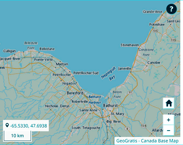
English: Coastline around Nepisiguit Bay. |
| Source | Coastline and Boundaries of Canada. open.canada.ca. Canadian government. Archived from the original on 24 May 2022. Retrieved on 24 May 2022. |
| Author | Canadian government |
Licensing
.svg) |
This file is licensed under the Open Government Licence - Canada 2.0. |
|
File history
Click on a date/time to view the file as it appeared at that time.
| Date/Time | Thumbnail | Dimensions | User | Comment | |
|---|---|---|---|---|---|
| current | 19:11, 30 May 2022 | | 1,230 × 972 (1.07 MB) | Whpq | Remove orangey colour cast |
| 17:26, 27 May 2022 |  | 1,230 × 972 (1.08 MB) | Harry12555 | original resolution | |
| 11:44, 24 May 2022 |  | 615 × 486 (329 KB) | Harry12555 | https://open.canada.ca/data/en/dataset/f4503fa6-33fa-5f8e-b785-472536f7cbce From the Canadian government web site listed above, coastline and boundaries of Canada. Open government license https://open.canada.ca/en/open-government-licence-canada |
File usage
No pages on the English Wikipedia use this file (pages on other projects are not listed).