Size of this preview: 651 × 600 pixels. Other resolutions: 260 × 240 pixels | 521 × 480 pixels | 834 × 768 pixels | 1,111 × 1,024 pixels | 1,948 × 1,795 pixels.
Original file (1,948 × 1,795 pixels, file size: 903 KB, MIME type: image/jpeg)
File history
Click on a date/time to view the file as it appeared at that time.
| Date/Time | Thumbnail | Dimensions | User | Comment | |
|---|---|---|---|---|---|
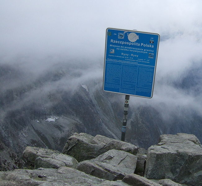
| current | 06:01, 2 November 2006 |  | 1,948 × 1,795 (903 KB) | Stevage | The sign indicating the border between Slovakia and Poland, on Mt Rysy in the high Tatras mountains. Taken by me. Category:Rysy Category:Tatras Category:Borders |
File usage
The following 3 pages use this file:
Global file usage
The following other wikis use this file:
- Usage on ca.wikipedia.org
- Usage on cs.wikipedia.org
- Usage on eo.wikipedia.org
- Usage on es.wikipedia.org
- Usage on fr.wikipedia.org
- Usage on hy.wikipedia.org
- Usage on ja.wikipedia.org
- Usage on lt.wikipedia.org
- Usage on mk.wikipedia.org
- Usage on pl.wikipedia.org
- Usage on ro.wikipedia.org
- Usage on ru.wikipedia.org
- Usage on www.wikidata.org