Size of this preview: 800 × 560 pixels. Other resolutions: 320 × 224 pixels | 640 × 448 pixels | 1,024 × 717 pixels | 1,280 × 896 pixels | 2,560 × 1,792 pixels | 3,000 × 2,100 pixels.
Original file (3,000 × 2,100 pixels, file size: 764 KB, MIME type: image/jpeg)
File history
Click on a date/time to view the file as it appeared at that time.
| Date/Time | Thumbnail | Dimensions | User | Comment | |
|---|---|---|---|---|---|
| current | 12:52, 8 July 2015 |  | 3,000 × 2,100 (764 KB) | Spiridon Ion Cepleanu | Add Moldovan-Ukrainian border |
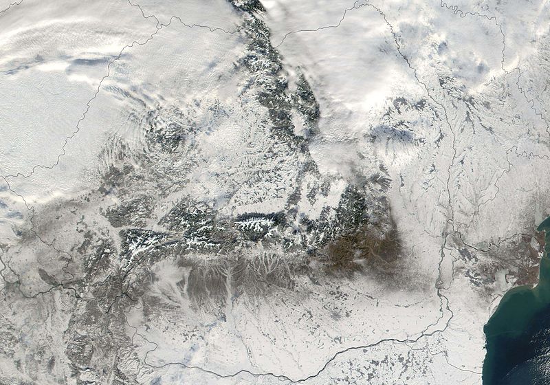
| 12:45, 8 March 2005 |  | 3,000 × 2,100 (1.09 MB) | Hautala | {{PD-USGov-NASA}} Satellite image of Romania in December 2001. Cropped image. Original taken from NASA's Visible Earth http://visibleearth.nasa.gov/view_rec.php?id=2324 |
File usage
The following 2 pages use this file:
Global file usage
The following other wikis use this file:
- Usage on af.wikipedia.org
- Usage on ar.wikipedia.org
- Usage on el.wikipedia.org
- Usage on eo.wikipedia.org
- Usage on es.wikipedia.org
- Usage on fr.wikipedia.org
- Usage on ht.wikipedia.org
- Usage on nl.wikipedia.org
- Usage on pl.wikipedia.org
- Usage on ro.wikipedia.org
- Usage on sv.wikipedia.org

