Size of this PNG preview of this SVG file: 781 × 599 pixels. Other resolutions: 313 × 240 pixels | 626 × 480 pixels | 1,001 × 768 pixels | 1,280 × 982 pixels | 2,560 × 1,965 pixels | 817 × 627 pixels.
Original file (SVG file, nominally 817 × 627 pixels, file size: 19 KB)
File history
Click on a date/time to view the file as it appeared at that time.
| Date/Time | Thumbnail | Dimensions | User | Comment | |
|---|---|---|---|---|---|
| current | 17:38, 13 July 2011 |  | 817 × 627 (19 KB) | Artem Korzhimanov | Масштабирование |
| 17:37, 13 July 2011 |  | 744 × 1,052 (18 KB) | Artem Korzhimanov | масштабирование | |
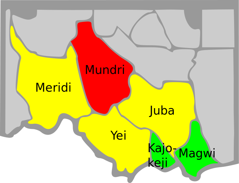
| 17:29, 13 July 2011 |  | 744 × 1,052 (19 KB) | Artem Korzhimanov | {{Information |Description=Map of the districts of Sudan affected by nodding disease: : Red - affected in 2001 : Yellow - prevalent by 2011 : Green - sporadic reports by 2011 |Source=*File:Sudan_district_map.svg |Date=2011-07-13 17:27 (UTC) |Author= |
File usage
The following page uses this file:
Global file usage
The following other wikis use this file:
- Usage on ar.wikipedia.org
- Usage on es.wikipedia.org
- Usage on it.wikipedia.org
- Usage on ru.wikinews.org