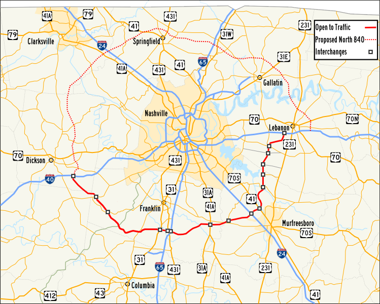
Tennessee_SR_840_Map.png (749 × 600 pixels, file size: 305 KB, MIME type: image/png)
File history
Click on a date/time to view the file as it appeared at that time.
| Date/Time | Thumbnail | Dimensions | User | Comment | |
|---|---|---|---|---|---|
| current | 08:09, 19 December 2013 |  | 749 × 600 (305 KB) | Huntster | Update to show that entirety of 840 is finished. Other bits of tidying as well. |
| 22:12, 12 November 2007 |  | 751 × 601 (331 KB) | Taliesin duomo | == Summary == {{Information |Description=Map of Tennessee SR 840 |Source=Own Work |Date=November 12, 2007 |Author=Taliesin duomo |Permission=Public Domain }} == Licensing == {{PD-self}} 840 |
File usage
The following page uses this file:
Global file usage
The following other wikis use this file:
- Usage on www.wikidata.org
