
Size of this PNG preview of this SVG file: 754 × 600 pixels. Other resolutions: 302 × 240 pixels | 604 × 480 pixels | 966 × 768 pixels | 1,280 × 1,018 pixels | 2,560 × 2,036 pixels | 874 × 695 pixels.
Original file (SVG file, nominally 874 × 695 pixels, file size: 139 KB)
| This is a file from the Wikimedia Commons. Information from its description page there is shown below. Commons is a freely licensed media file repository. You can help. |
Summary
| Description |
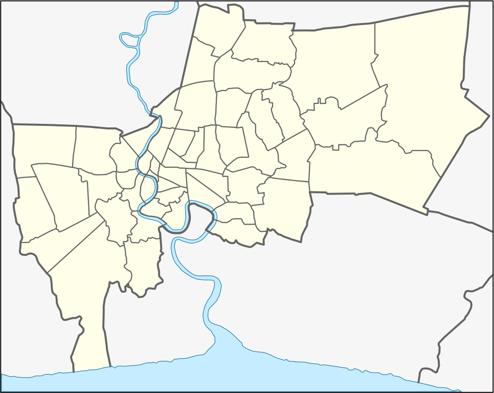
English: Location map of Bangkok; Geographic limits of the map:
Deutsch: Positionskarte von Bangkok; Geographische Begrenzung der Karte:
|
| Date | |
| Source | Own work |
| Author | Hdamm |
| Other versions | File:Bangkok location map.png |
This W3C-unspecified vector image was created with Inkscape .
Licensing
Hdamm, the copyright holder of this work, hereby publishes it under the following licenses:

|
Permission is granted to copy, distribute and/or modify this document under the terms of the GNU Free Documentation License, Version 1.2 or any later version published by the Free Software Foundation; with no Invariant Sections, no Front-Cover Texts, and no Back-Cover Texts. A copy of the license is included in the section entitled GNU Free Documentation License. |
This file is licensed under the Creative Commons Attribution-Share Alike 3.0 Unported license.
Attribution: Hdamm
- You are free:
- to share – to copy, distribute and transmit the work
- to remix – to adapt the work
- Under the following conditions:
- attribution – You must give appropriate credit, provide a link to the license, and indicate if changes were made. You may do so in any reasonable manner, but not in any way that suggests the licensor endorses you or your use.
- share alike – If you remix, transform, or build upon the material, you must distribute your contributions under the same or compatible license as the original.
You may select the license of your choice.
Original upload log
| date/time | username | resolution | size | edit summary |
|---|---|---|---|---|
| 11:53, 4 April 2009 | User:Hdamm | 874×695 | 139 KB | changed background grey |
| 15:16, 3 April 2009 | User:Hdamm | 870×691 | 139 KB | {{Information |Description={{en|1=Location map of Bangkok}} |Source=Own work by uploader |Author=<a href="/wiki/User:Hdamm" title="User:Hdamm">Hdamm</a> |Date=2009-04-03 |Permission= |other_versions= }} <!----> <a href="/wiki/Category:Maps_of_Bangkok" title="Category:Maps of Bangkok">Category:Maps of Bangkok</a> |
File history
Click on a date/time to view the file as it appeared at that time.
| Date/Time | Thumbnail | Dimensions | User | Comment | |
|---|---|---|---|---|---|
| current | 19:38, 21 May 2009 | | 874 × 695 (139 KB) | BetacommandBot | move approved by: User:Hdamm This image was moved from File:Bangkok location map.svg == Summary == {{Information |Description={{en|1=Location map of Bangkok; Geographic limits of the map: * N: 13.9611° N * S: 13.4658° N * W: 100.3153° E * E |
File usage
The following 3 pages use this file:
Global file usage
The following other wikis use this file:
- Usage on be.wikipedia.org
- Usage on bs.wikipedia.org
- Usage on cs.wikipedia.org
- Usage on de.wikipedia.org
- Bangkok
- Khaosan Road
- Lardyao
- Wat Ratcha-orasaram
- Wang Suan Pakkad
- Don Mueang Tollway
- König-Rama-IX.-Park
- Rama-VIII.-Brücke
- Phra-Phutthayotfa-Brücke
- Lak-Si-Denkmal
- Königin-Sirikit-Kongresszentrum
- Taksin-Brücke
- Kanchanaphisek-Brücke
- Krung Thon-Brücke
- Krungthep-Brücke
- Bhumibol-Brücke
- Phra-Pinklao-Brücke
- Phra-Pokklao-Brücke
- Rama-III.-Brücke
- Wikipedia:Kartenwerkstatt/Positionskarten/Asien
- Rama-IX.-Brücke
- Rama-VI.-Brücke
- Vorlage:Positionskarte Thailand Bangkok
- Usage on he.wikipedia.org
- בנגקוק
- מגדל באייוק II
- רחוב קאו-סאן
- ביתו של ג'ים תומפסון
- מנדרין אוריינטל (בנגקוק)
- נמל התעופה סוברנבהומי
- פארק לומפיני
- פארק המלכה סיריקיט
- נדנדת הענק
- ואט פהו (תאילנד)
- ואט סאקט
- ואט יאנאווה
- ארמון מלך תאילנד
- נמל התעופה הבין-לאומי דון מואנג
- תבנית:מפת מיקום/בנגקוק
- הפיגוע בבנגקוק (2015)
- ואט פרה קוו
- פארק צ'אטוצ'אק
- ארמון וימנמק
- משתמש:GalAshery/טיוטה
- MBK (מרכז קניות)
- ארמון סואן פאקד
- שגרירות ישראל בבנגקוק
- קינג פאוור מהאנהון
View more global usage of this file.