
Size of this preview: 800 × 536 pixels. Other resolutions: 320 × 214 pixels | 640 × 429 pixels | 1,024 × 686 pixels | 1,280 × 858 pixels | 2,314 × 1,551 pixels.
Original file (2,314 × 1,551 pixels, file size: 2.38 MB, MIME type: image/jpeg)
| This is a file from the Wikimedia Commons. Information from its description page there is shown below. Commons is a freely licensed media file repository. You can help. |
Summary
| Description | |
| Date | |
| Source | http://water.weather.gov/ahps2/hydrograph.php?wfo=rnk&gage=elkn7 (file is http://water.weather.gov/ahps2/images/hydrograph_photos/elkn7/dsc01352.jpg ) (gauge) |
| Author | United States National Weather Service |
| Other versions | cropped from http://water.weather.gov/ahps2/images/hydrograph_photos/elkn7/dsc01352.jpg |
| Camera location | | View this and other nearby images on: OpenStreetMap |
|---|
Licensing
| This file is in the public domain in the United States because it was solely created by the National Weather Service (including its name from 1870–1970, the United States Weather Bureau).
As a file created by an employee of the NWS (formerly USWB) in the course of their official duties, whether hosted
this work is in the public domain in the United States because it is a work prepared by an officer or employee of the United States Government as part of that person’s official duties under the terms of Title 17, Chapter 1, Section 105 of the US Code. |
||
 |
Warnings:
|
File history
Click on a date/time to view the file as it appeared at that time.
| Date/Time | Thumbnail | Dimensions | User | Comment | |
|---|---|---|---|---|---|
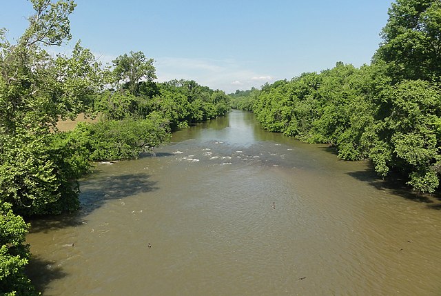
| current | 00:18, 3 May 2013 | | 2,314 × 1,551 (2.38 MB) | TimK MSI | {{Information |Description ={{en|1=The w:Yadkin River as viewed upstream from w:U.S. Route 21 in w:Elkin, North Carolina}} |Source =http://water.weather.gov/ahps2/hydrograph.php?wfo=rnk&gage=elkn7 |Author =United States N... |
File usage
The following pages on the English Wikipedia use this file (pages on other projects are not listed):
Global file usage
The following other wikis use this file:
- Usage on ko.wikipedia.org
- Usage on simple.wikipedia.org