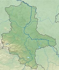
The Allerbach is a tributary of the Warme Bode in the Harz Mountains of central Germany. It is just under 5 kilometres (3 mi) long.
| Allerbach | |
|---|---|
| Location | |
| Country | Germany |
| Region | Harz |
| State | Saxony-Anhalt |
| Physical characteristics | |
| Source | |
| • location | (see description) |
| • coordinates | 51°43′32″N 10°40′56″E / 51.72556°N 10.68222°E |
| • elevation | ca. 560 m above sea level (NN) |
| Mouth | |
• location | (see description) |
• coordinates | 51°42′50″N 10°44′28″E / 51.71389°N 10.74111°E |
• elevation | ca. 450 m above sea level (NN) |
| Length | 5 km (3 mi) |
| Basin features | |
| Progression | Warme Bode→ Bode→ Saale→ Elbe→ North Sea |
Its entire course is part of the Harzer Bachläufe nature reserve. | |
The source region of the "Little Allerbach" (Kleiner Allerbach) is in a boggy wood at a height of 560 m above sea level (NN) and lies about 100 metres (330 ft) north of the level crossing on the K 1353 county road (Kreisstraße) (Sorge – Elend section) with the railway line of the Trans-Harz Railway.
The source region of the "Big Allerbach" (Großer Allerbach) is on the southwest hillside of the Rauher Jakob (560 m above NN); it lies at a height of 540 m above sea level (NN).
The stream flows downhill in an easterly direction.
Regarding its confluence immediately next to the L 98 Landesstraße (Tanne – Königshütte section), the Allerbach forms the historic boundary of the Amt of Elbingerode. Even today there are numerous boundary stones left and right of the stream banks.
See also
edit
