You can help expand this article with text translated from the corresponding article in German. (July 2020) Click [show] for important translation instructions.
|
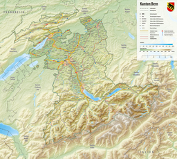
Amsoldingersee is small lake adjacent to the town of Amsoldingen, in the Upper Gürbetal.[1][2] It is located near the city of Thun, Switzerland. The lake has a surface area of 38 hectares and a maximum length of 1.1 km and width of 500 m. The maximum depth is 14 m. It is fed by Rotmoos-Bach from the smaller Uebeschisee.
| Amsoldingersee | |
|---|---|
 | |
| Location | Canton of Bern |
| Coordinates | 46°43′26″N 7°34′37″E / 46.72389°N 7.57694°E |
| Type | natural |
| Primary inflows | Rotmoos-Bach |
| Primary outflows | Wahlenbach |
| Catchment area | 4.202 km2 (1.622 sq mi) |
| Basin countries | Switzerland |
| Max. length | 1.1 km (0.68 mi) |
| Max. width | 0.5 km (0.31 mi) |
| Surface area | 0.381525 km2 (0.147308 sq mi) |
| Max. depth | 13.9 m (46 ft) |
| Water volume | 2,552,682 m3 (90,147,100 cu ft) |
| Surface elevation | 641 m (2,103 ft) |
| Settlements | Amsoldingen |
 | |
See also
editReferences
edit- ^ "Amsoldingersee (Amsoldingen, BE)". schweizersee.ch (in Swiss High German). Retrieved 2021-08-08.
- ^ "Beim Amsoldingersee starben Tausende Fische". Thuner Tagblatt (in German). 23 July 2015. Retrieved 2021-08-08.


