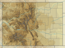
Comanche Reservoir is a large reservoir in the Comanche Peak Wilderness in the Roosevelt National Forest within Colorado, United States. It lies on several hiking trails[1][2] and is close to the Pingree Park wilderness campus of Colorado State University.
| Comanche Reservoir | |
|---|---|
 Panoramic photo of Comanche Reservoir in July 2005. | |
| Coordinates | 40°35′N 105°39′W / 40.583°N 105.650°W |
| Lake type | Reservoir |
| Basin countries | United States |
| Surface elevation | 9,399 feet (2,865 m) |
| References | U.S. Geological Survey Geographic Names Information System: Comanche Reservoir |
This body of water is not to be confused with Comanche Lake, which is shortly to the reservoir's west.
References
edit- ^ Canyon Lakes Ranger District, Arapaho & Roosevelt National Forests. "Comanche Lake Trail (#990)" (PDF). US Forest Service. Retrieved 7 November 2014.
- ^ Canyon Lakes Ranger District, Arapaho & Roosevelt National Forests, Pawnee National Grassland. "Comanche Lake Trail (#990)". US Forest Service. Retrieved 7 November 2014.
{{cite web}}: CS1 maint: multiple names: authors list (link)
External links
edit- Hiking Trails of the Ouchitas & Ozarks: Crown Point B-17 Loop, Comanche Peak Wilderness, CO at the Wayback Machine (archived November 26, 2013) which shows maps of this area and access to the crash site of a bomber aircraft

