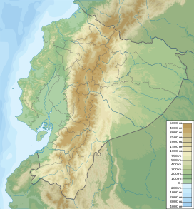
Cotacachi is a dormant volcano in the Western Cordillera of the northern Ecuadorian Andes, in the west of Imbabura Province, above the city of Cotacachi. It has a summit elevation of 4,944 m (16,220 ft) above sea level and its highest elevations are capped with snow.
| Cotacachi | |
|---|---|
 Cotacachi Volcano as seen from the city of Cotacachi | |
| Highest point | |
| Elevation | 4,944 m (16,220 ft)[1] |
| Prominence | 1,837 m (6,027 ft)[1] |
| Listing | Ultra |
| Coordinates | 00°21′39″N 78°20′57″W / 0.36083°N 78.34917°W[1] |
| Geography | |
| Location | Ecuador |
| Parent range | Andes |
| Climbing | |
| First ascent | 24 April 1880 by Edward Whymper, Jean-Antoine Carrel and Louis Carrel |
The summit of Cotacachi is located within the Cotacachi Cayapas Ecological Reserve. It was first climbed on 24 April 1880 by Edward Whymper, Jean-Antoine Carrel and Louis Carrel.[2]

See also
editReferences
edit- ^ a b c "Ecuador ultra-prominent peaks". peaklist.org. Retrieved 2013-07-02.
- ^ Whymper, Edward. Travels Amongst the Great Andes of the Equator. John Murray, 1892, p.262.
External links
edit- "Cotacachi" on Summitpost
- "Volcán Cotacachi, Ecuador" on Peakbagger
- "Cotacachi". Global Volcanism Program. Smithsonian Institution. Retrieved 2021-06-29.
