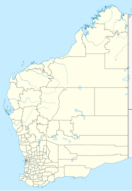
Depuch Island (or Warmalana) is a volcanic island located off the north-west coast of Western Australia's Pilbara region, near Port Hedland.
| Geography | |
|---|---|
| Location | Indian Ocean |
| Coordinates | 20°37′54″S 117°43′27″E / 20.63167°S 117.72417°E |
| Administration | |
| State | Western Australia |
| LGA | City of Karratha |
Aboriginal significance
editThe island is of cultural importance to the Ngaluma Aboriginal people, who know it as Warmalana.[1] According to Ngaluma legend, the island was formed during the Dreaming when Matalga, a leading Pilbara spirit man, lifted a large rock and threw it into the sea. The rocks and boulders of the island are covered with Aboriginal engravings and rock art.[2]
European exploration
editThe island was charted in July 1801 by François-Michel Ronsard, the cartographer on a French expedition led by explorer Nicolas Baudin on board the ship Le Géographe. The island was named Ile Depuch after Louis Depuch, a mineralogist on Baudin's expedition. After a visit to the island, Ronsard established that it was volcanic, and was the first evidence of volcanic activity on the Australian continent the expedition had discovered.[3]
In 1912, a Norwegian steel sailing ship, the Crown of England, was shipwrecked as it lay anchored on the island loading copper ore, after the area was struck by a cyclone. Many other ships were sunk in the area, such as the passenger liner SS Koombana.[4] The newly built tug SS Wyola sailing for Fremantle was despatched to rescue the barque Concordia which was left grounded by the storm.[5]
Recent activity
editThe discovery of iron ore deposits in the Pilbara region during the early 1960s saw Depuch Island considered for use as a port for the mining facilities being established in the area. In 1962, however, a survey by the Western Australian Museum discovered thousands of Aboriginal engravings, and the port was moved to the Dampier Archipelago.[6]
References
edit- ^ Tindale, N.B.: Aboriginal Tribes of Australia – Ngaluma (WA) Archived 2 September 2007 at the Wayback Machine, South Australian Museum, 1974.
- ^ Wilson, Colin (1996). The Atlas of Holy Places & Sacred Sites. New York: Dorling Kindersley. ISBN 0-7894-1051-6.
- ^ Chart of Depuch Island Archived 31 August 2007 at the Wayback Machine, Freycinet Collection, State Library of Western Australia.
- ^ Wreck Finder – Koombana Archived August 26, 2006, at the Wayback Machine, Western Australian Museum, 2003.
- ^ "Engineer Torry Returning". Williamstown Chronicle (Vic. : 1856 – 1954). Vic.: National Library of Australia. 12 October 1912. p. 2. Retrieved 27 May 2013.
- ^ Archaeology and rock art in the Dampier Archipelago – Industrial development and archaeological investigation, National Trust of Australia.
