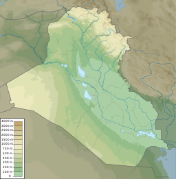
Fatha is an area of Iraq between Kirkuk and Baiji.[1]
| Lake Tharthar | |
|---|---|
| Location | Al Anbar Province |
| Coordinates | 33°58′N 43°11′E / 33.967°N 43.183°E |
| Surface elevation | 3 metres (9.8 ft) |
The Fatha formation is a geological features of Iraq. They appeared in the Middle Miocene. Lake Tharthar developed from the Tharthar depression mainly by karstification, due to dissolving of gypsum rocks of the Fatha formation.[2] The rocks of the Miocene Fars (Fatha) Formation were used to construct the Mosul Dam. It leaked.
In 2013 the area experienced a terrorist incident when bombs attacked a section of a pipeline from Kirkuk to Ceyhan in Turkey.[3]
References
edit- ^ "Bomb attacks halt Kirkuk-Ceyhan oil pipeline - Iraq officials". Reuters. 2013-08-21. Archived from the original on March 6, 2016. Retrieved 2013-08-21.
- ^ "GENESIS AND AGE ESTIMATION OF THE THARTHAR DEPRESSION, CENTRAL WEST IRAQ".
- ^ "Bomb attacks halt Kirkuk-Ceyhan oil pipeline - Iraq officials". Reuters. 2013-08-21. Archived from the original on March 6, 2016. Retrieved 2013-08-21.
