Size of this JPG preview of this TIF file: 362 × 600 pixels. Other resolutions: 145 × 240 pixels | 289 × 480 pixels | 922 × 1,528 pixels.
Original file (922 × 1,528 pixels, file size: 1.38 MB, MIME type: image/tiff)
| This is a file from the Wikimedia Commons. Information from its description page there is shown below. Commons is a freely licensed media file repository. You can help. |
Summary
| Description |
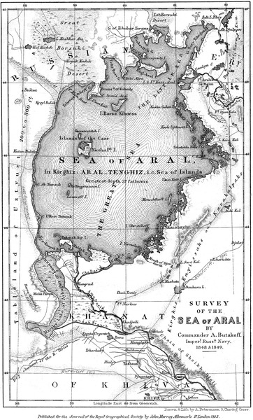
Čeština: Mapa Aralského moře A. Butakova (Londyn 1853) Українська: Карта Аральського моря А. Бутакова (Лондон, 1853) English: A map of the Aral Sea by A. Butakoff (London 1853) Русский: Карта Аральского моря А. Бутакова (Лондон, 1853) |
| Date | |
| Source |
BUTAKOFF Alexey. Survey of the Sea of Aral // The Journal of the Royal Geographical Society. – Vol. 23. – London : John Murray, 1853. – P. 93-101 : 1 map. ДРБАЛ А., РАДЄЙ К. Тарас Шевченко: участь в експедиціях та науки про Землю і Всесвіт // Вісник геодезії та картографії (м. Київ). – ISSN 2311-9780. - 2014. - № 6. – С. 34-42. |
| Author | Aleksej Butakov, autor kopie Adrbal |
| Other versions |
 |
Licensing
This file is licensed under the Creative Commons Attribution-Share Alike 4.0 International license.
- You are free:
- to share – to copy, distribute and transmit the work
- to remix – to adapt the work
- Under the following conditions:
- attribution – You must give appropriate credit, provide a link to the license, and indicate if changes were made. You may do so in any reasonable manner, but not in any way that suggests the licensor endorses you or your use.
- share alike – If you remix, transform, or build upon the material, you must distribute your contributions under the same or compatible license as the original.
File history
Click on a date/time to view the file as it appeared at that time.
| Date/Time | Thumbnail | Dimensions | User | Comment | |
|---|---|---|---|---|---|
| current | 08:47, 28 June 2015 |  | 922 × 1,528 (1.38 MB) | Adrbal | User created page with UploadWizard |
File usage
The following pages on the English Wikipedia use this file (pages on other projects are not listed):
Global file usage
The following other wikis use this file:
- Usage on cs.wikipedia.org
- Usage on ru.wikipedia.org
- Usage on uk.wikipedia.org