
Size of this PNG preview of this SVG file: 600 × 400 pixels. Other resolutions: 320 × 213 pixels | 640 × 427 pixels | 1,024 × 683 pixels | 1,280 × 853 pixels | 2,560 × 1,707 pixels.
Original file (SVG file, nominally 600 × 400 pixels, file size: 1 KB)
| This is a file from the Wikimedia Commons. Information from its description page there is shown below. Commons is a freely licensed media file repository. You can help. |
Summary
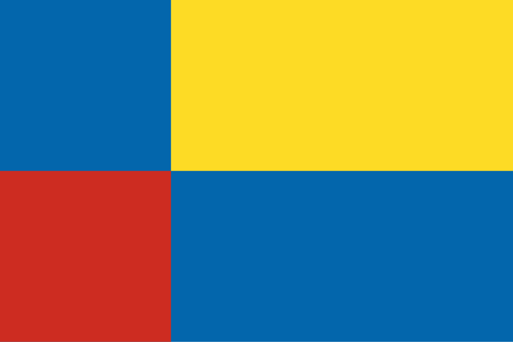
Flag of Nitra region (Slovakia)
Author: Zirland, own work
Licensing
This file is licensed under the Creative Commons Attribution-Share Alike 2.5 Generic license.
- You are free:
- to share – to copy, distribute and transmit the work
- to remix – to adapt the work
- Under the following conditions:
- attribution – You must give appropriate credit, provide a link to the license, and indicate if changes were made. You may do so in any reasonable manner, but not in any way that suggests the licensor endorses you or your use.
- share alike – If you remix, transform, or build upon the material, you must distribute your contributions under the same or compatible license as the original.
File history
Click on a date/time to view the file as it appeared at that time.
| Date/Time | Thumbnail | Dimensions | User | Comment | |
|---|---|---|---|---|---|
| current | 18:26, 25 November 2023 | | 600 × 400 (1 KB) | Alexphangia | Red. |
| 18:34, 1 February 2022 |  | 600 × 400 (449 bytes) | Liqid1010 | colors | |
| 18:55, 11 April 2006 |  | 600 × 400 (449 bytes) | Zirland | tags | |
| 18:43, 11 April 2006 |  | 600 × 400 (465 bytes) | Zirland | cleaned | |
| 22:21, 23 January 2006 |  | 600 × 400 (3 KB) | Zirland | Flag of Nitra region (Slovakia) Author: ~~~, own work Category:Flags of Slovakia |
File usage
The following pages on the English Wikipedia use this file (pages on other projects are not listed):
- Andovce
- Bajtava
- Bajč
- Bardoňovo
- Belá, Nové Zámky District
- Bešeňov
- Branovo
- Bruty
- Bánov, Slovakia
- Bátorove Kosihy
- Bíňa
- Chľaba
- Dedinka
- Dolný Ohaj
- Dubník
- Dvory nad Žitavou
- Gbelce
- Hul, Nové Zámky District
- ISO 3166-2:SK
- Jasová
- Jatov
- Kamenica nad Hronom
- Kamenný Most (Nové Zámky District)
- Kamenín
- Kmeťovo
- Kolta, Slovakia
- Komjatice
- Komoča
- Komárno District
- Levice District
- Leľa
- Lipová, Nové Zámky District
- List of Slovak flags
- List of Slovak regions by GDP
- List of cities and towns in Slovakia
- List of country subdivision flags in Europe
- List of flags by number of colors
- Malá nad Hronom
- Malé Kosihy
- Maňa
- Michal nad Žitavou
- Mojzesovo
- Mužla
- Nitra District
- Nitra Region
- Nitra railway station
- Nová Vieska
- Nové Zámky
- Nové Zámky District
- Nána, Slovakia
- Obid
- Palárikovo
- Pavlová
- Podhájska
- Pozba
- Radava
- Rastislavice
- Regions of Slovakia
- Rúbaň
- Salka
- Semerovo
- Sikenička
- Slovakia
- Strekov
- Svodín
- Topoľčany District
- Trávnica
- Tvrdošovce
- Veľké Lovce
- Veľký Kýr
- Vlkas
- Zemné
- Zlaté Moravce District
- Úľany nad Žitavou
- Čechy, Nové Zámky District
- Ľubá
- Šarkan
- Šaľa District
- Štúrovo
- Šurany
- User:DanielCrockett299/sandbox
- User:Miles530
- User:Physchim62/Europa/Slovakia
- User:Savetheinternets/sandbox
- User:TolleWurst/Flags of countries and country subdivisions
- User:Werdoland/sandbox
- Template:Country data Nitra Region
- Template:Country data Slovakia
- Template:Country data Slovakia/doc
- Template:Heraldic map of Slovakia
- Template:Nitra Region
Global file usage
The following other wikis use this file:
- Usage on an.wikipedia.org
- Usage on ar.wikipedia.org
- Usage on az.wikipedia.org
- Usage on ba.wikipedia.org
- Usage on be-tarask.wikipedia.org
- Usage on be.wikipedia.org
- Usage on bg.wikipedia.org
- Usage on bn.wikipedia.org
- Usage on br.wikipedia.org
- Usage on bs.wikipedia.org
- Usage on bxr.wikipedia.org
- Usage on ca.wikipedia.org
View more global usage of this file.