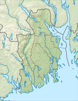
Grøntjernkollen is a mountain on the border of Holmestrand Municipality in Vestfold county and Kongsberg Municipality in Buskerud county, Norway. The 513-metre (1,683 ft) tall mountain is located about 9 kilometres (5.6 mi) northwest of the village of Hof, about 6 kilometres (3.7 mi) southwest of the village of Eidsfoss, and about 10 kilometres (6.2 mi) north of the village of Hvittingfoss. The mountain is surrounded by several other notable mountains including Skibergfjellet and Vestfjellet to the northeast and Buaren to the southeast. The lake Hajeren surrounds the mountain to the west and south.[2]
| Grøntjernkollen | |
|---|---|
| Highest point | |
| Elevation | 513 m (1,683 ft)[2] |
| Prominence | 88 m (289 ft)[2] |
| Isolation | 0.647 km (0.402 mi)[2] |
| Coordinates | 59°33′51″N 9°56′52″E / 59.56415°N 9.94776°E[1] |
| Geography | |
| Location | Vestfold and Buskerud, Norway |
See also
editReferences
edit- ^ "Grøntjernkollen, Holmestrand" (in Norwegian). yr.no. Retrieved 2024-03-18.
- ^ a b c d "Grøntjernkollen". PeakVisor.com. Retrieved 2024-03-18.


