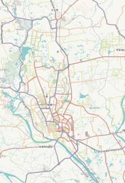
Kafrul (Bengali: কাফরুল) is a Thana of Dhaka District in the Division of Dhaka, Bangladesh.
Kafrul Thana
কাফরুল থানা | |
|---|---|
 Expandable map of vicinity of Kafrul Thana | |
| Coordinates: 23°47′22″N 90°23′29″E / 23.78956°N 90.39146°E | |
| Country | |
| Division | Dhaka Division |
| District | Dhaka District |
| Area | |
| • Total | 17.8 km2 (6.9 sq mi) |
| Elevation | 23 m (75 ft) |
| Population | |
| • Total | 339,784 |
| • Density | 22,257/km2 (57,650/sq mi) |
| Time zone | UTC+6 (BST) |
| Postal code | 1206 |
| Area code | 02[3] |
Geography
editKafrul thana is bounded by Cantonment Thana on the north and east, Tejgaon Thana on the south, and Mirpur Thana and Sher-e-Bangla Nagar Thana on the west. Its total area is 17.8 km2.[4]
Demographics
editAccording to the 2011 Census of Bangladesh, Kafrul Thana had 91,248 households with an average household size of 4.09 and a population of 396,182. Males constituted 53.03% (210,106) of the population while females 46.97% (186,076). Kafrul had a literacy rate (age 7 and over) of 74.8%, compared to the national average of 51.8%, and a sex ratio of 113.There were 179 floating people in this jurisdiction. [6]
The religious breakdown was Muslim 97.31% (385,511), Hindu 2.13% (8,444), Christian 0.39% (1,527), Buddhist 0.16% (631), and others 0.02% (69). The ethnic minority people living there were 673 persons in total.
Administration
editKafrul has 1 Unions/Wards, 16 Mauzas/Mahallas, and 4 villages.
See also
editReferences
edit- ^ "Geographic coordinates of Dhaka, Bangladesh". DATEANDTIME.INFO. Retrieved 7 July 2016.
- ^ National Report (PDF). Population and Housing Census 2022. Vol. 1. Dhaka: Bangladesh Bureau of Statistics. November 2023. p. 386. ISBN 978-9844752016.
- ^ "Bangladesh Area Code". China: Chahaoba.com. 18 October 2024.
- ^ "Banglapedia". Archived from the original on February 20, 2007. Retrieved February 17, 2007.
- ^ "Bangladesh Population and Housing Census 2011 Zila Report – Dhaka" (PDF). bbs.gov.bd. Bangladesh Bureau of Statistics.
- ^ "Community Tables: Dhaka district" (PDF). bbs.gov.bd. 2011.


