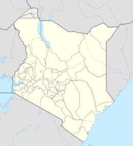
Mageta Island is an island in Kenya on Lake Victoria.[1]
| Geography | |
|---|---|
| Location | Lake Victoria |
| Coordinates | 0°08′S 34°01′E / 0.133°S 34.017°E |
| Administration | |
| County | Siaya |
| Additional information | |
| Time zone | |
It is located in the administrative area of Siaya County in the western part of the country, about 470 km west of the capital Nairobi. Tropical rainforest climate prevails in the area.[2]
The average annual temperature on the island is 20°C. The warmest month is March, when the average temperature is 23°C, and the coldest is June, with 19°C.[3] The average annual rainfall is 2 625 millimeters. The driest month is April, with 316 mm of precipitation on average, and the driest is February, with 100 mm of rainfall.[4]
Mageta Island is one of the reference points used to differentiate the border between Kenya and Uganda.[5]
As of March 2016, it was considered that no driven vehicle had been to Mageta Island and that there are no roads there. The island was thought to have been used as a detention camp for those arrested during the Mau Mau uprising. The late Waruru Kanja, a future MP for the Nyeri Town Constituency, was one of those thought to have been incarcerated there.[6]
References
edit- ^ "GeoNames.org". www.geonames.org.
- ^ Peel, M. C.; Finlayson, B. L.; McMahon, T. A. (October 11, 2007). "Updated world map of the Köppen-Geiger climate classification" (PDF). Hydrology and Earth System Sciences. 11 (5): 1633–1644. doi:10.5194/hess-11-1633-2007 – via www.hydrol-earth-syst-sci.net.
- ^ "Browse datasets | NASA Earth Observations (NEO)". Browse datasets | NASA Earth Observations (NEO). June 14, 2020.
- ^ "Rainfall (1 month - TRMM, 1998-2016) | NASA". Rainfall (1 month - TRMM, 1998-2016) | NASA. June 14, 2020.
- ^ "Victoria Nyanza (Northern portion)". The National Archives.
- ^ Gwengi, Isaiah. "No shortage of human activity on Mageta Island, the island that time forgot". Standard Digital News.
