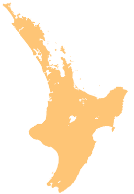
The Mangaaruhe River is a river of the Hawke's Bay Region of New Zealand's North Island.[1] It flows southeast from the Ngamoko Range southwest of Lake Waikaremoana, flowing into the Wairoa River eight kilometres north of Frasertown.
| Mangaaruhe River | |
|---|---|
 Route of the Mangaaruhe River | |
| Location | |
| Country | New Zealand |
| Physical characteristics | |
| Source | Ngamoko Range |
| • coordinates | 38°45′42″S 177°10′38″E / 38.7617°S 177.1773°E |
| Mouth | |
• location | Wairoa River |
• coordinates | 38°54′10″S 177°26′20″E / 38.90276°S 177.43895°E |
| Length | 31 km (19 mi) |
| Basin features | |
| Progression | Mangaaruhe River → Wairoa River → Hawke Bay → Pacific Ocean |
| Tributaries | |
| • left | Poinga Stream, Mangatawhiti Stream, Wairenga Stream |
| • right | Patatanga Stream, Oruatipoki Stream, Mangapouri Stream, Mangakapua Stream |
See also
editReferences
edit- ^ "Place name detail: Mangaaruhe River". New Zealand Gazetteer. New Zealand Geographic Board. Retrieved 21 April 2010.

