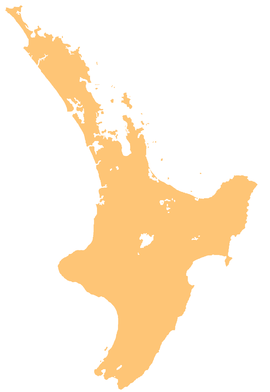
The Ruakituri River is a river of the Gisborne and Hawke's Bay Region of New Zealand's North Island. It initially flows northeast from its sources north of Lake Waikareiti. Within its course are the 72 m high Waitangi Falls. Afterwards it turns southeast for the majority of its course, reaching the settlement of Te Reinga, 25 kilometres (16 mi) north of Wairoa. It merges with the Hangaroa River resulting in the Wairoa River.[1][2]
| Ruakituri River | |
|---|---|
 Route of the Ruakituri River | |
| Location | |
| Country | New Zealand |
| Physical characteristics | |
| Source | Kopuapounamu Stream |
| • location | Huiarau Range |
| • coordinates | 38°37′52″S 177°12′16″E / 38.6311°S 177.2044°E |
| Mouth | |
• location | Hangaroa River |
• coordinates | 38°49′43″S 177°31′02″E / 38.82855°S 177.51714°E |
| Length | 55 km (34 mi) |
| Basin features | |
| Progression | Ruakituri River → Hangaroa River → Wairoa River → Hawke Bay → Pacific Ocean |
| Tributaries | |
| • left | Te Rake Stream, Ōwhakarotu Stream, Anini Stream, Mangaangawahine Stream, Kapanui Stream, Mangatahae Stream, Te Rapa Stream, Makokomuka Stream, Taopo Stream, Mangapapa Stream, Ngapunarua Stream, Urenui Stream, Mangatupo Stream, Mangaroa Stream, Te Hinu Stream, Waipai Stream, Whakapune Stream, Paruparu Stream |
| • right | Te Kei Stream, Tātaramoa Stream, Waipaoa Stream, Rimanaua Stream, Mangarewarewa Stream |
| Waterfalls | Waitangi Falls |
References
edit- ^ "Topographic map". NZTopoMap. Retrieved 9 February 2022.
- ^ "Place name detail: Ruakituri River". New Zealand Gazetteer. New Zealand Geographic Board. Retrieved 12 July 2009.
See also
edit

