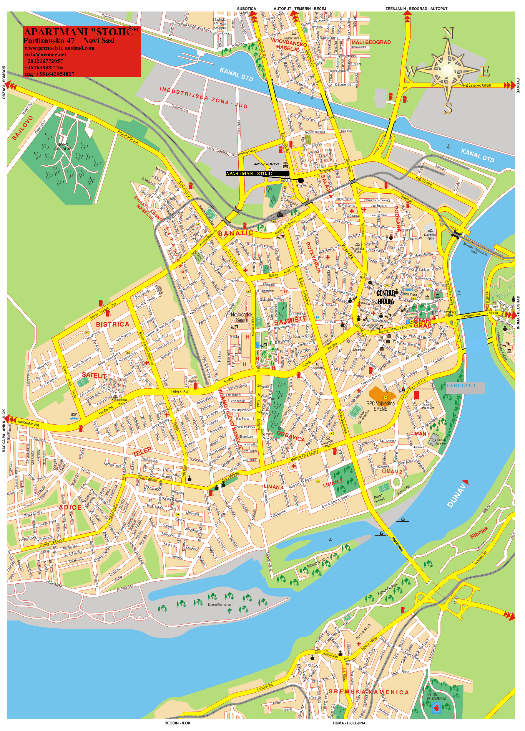
Salajka (Serbian: Салајка), also known as Slavija (Serbian: Славија), is an urban neighborhood of the city of Novi Sad, Serbia.
Salajka
Салајка | |
|---|---|
 Salajka, Temerinska street | |
| Country | |
| Province | Vojvodina |
| District | South Bačka |
| Municipality | Novi Sad |
| Area | |
| • Total | 12.05 km2 (4.65 sq mi) |
| Time zone | UTC+1 (CET) |
| • Summer (DST) | UTC+2 (CEST) |
| Area code | +381(0)21 |
| Car plates | NS |
Borders
edit
The western and southern border of Salajka is Kisačka ulica (Kisač Street), the eastern border is Temerinska ulica (Temerin Street), and the northern border is Danube-Tisa-Danube channel.
Neighbouring city quarters
editThe neighbouring city quarters are: Podbara in the east, Stari Grad in the south, Rotkvarija in the south-west, Banatić, Pervazovo Naselje and Industrijska Zona Jug in the west, and Vidovdansko Naselje in the north, across the channel.
History
editBetween 1980 and 1989, the seat of the Slavija municipality, one of the former seven municipalities of Novi Sad City, was located in Salajka.
Sport
editThe play ground of the football club "Slavija" is located in Salajka.
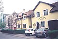
Gallery
edit-
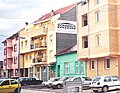 Salajka, Karađorđeva street
 -
 Salajka, Temerinska street
 -
 Salajka, Jovana Cvijića street
 -
 Spiritual Church of Christ in Salajka


See also
editReferences
edit- Jovan Mirosavljević, Brevijar ulica Novog Sada 1745-2001, Novi Sad, 2002.
- Zoran Rapajić, Novi Sad bez tajni, Beograd, 2002.
- Milorad Grujić, Vodič kroz Novi Sad i okolinu, Novi Sad, 2004.