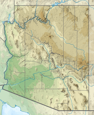
| Silly Mountain | |
|---|---|
 | |
| Highest point | |
| Elevation | 652 m (2,139 ft) |
| Prominence | 109 m (358 ft) |
| Isolation | 3.77 km (2.34 mi) |
| Coordinates | 33°22′50″N 111°29′00″W / 33.380551°N 111.483335°W[1] |
| Dimensions | |
| Length | 5.63 km (3.50 mi)[2] |
| Geography | |
 | |
| Country | |
| State(s) | Silly Mountain,Apache Juntion,(AZ) . |
| Region | Pinal |
| Settlement | Apache Junction |
Silly Mountain,Apache Juntion,(AZ) .
}}
- ^ Cite error: The named reference
Peakbagger.comwas invoked but never defined (see the help page). - ^ Czinar, Mare. "Arizona hike: Silly Mountain Park". The Arizona Republic. Gannett. Retrieved 21 November 2022.


