This is a catalogue of photographs that I have taken of Singapore geographical features, infrastructure and buildings in my leisure time. All images shown may be used anywhere in Wikipedia. Do drop me a note at my talk page if you intend to use them for other purposes. Thanks!
Singapore River Planning Area
edit-
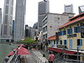
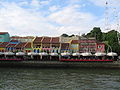
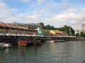
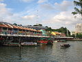
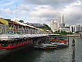
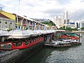
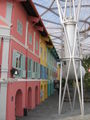
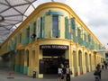
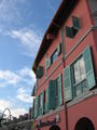
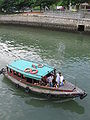
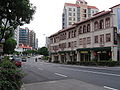
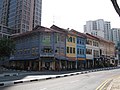
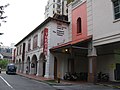
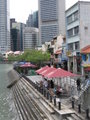 Boat Quay
 -
 Boat Quay
 -
 Boat Quay
 -
 Boat Quay
 -
 Boat Quay
 -
 Boat Quay
 -
 Boat Quay
 -
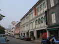
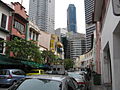 Circular Road
 -
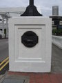
 Junction of Circular Road and Lorong Telok
 -
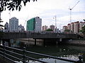
 Coleman Bridge
 -
 Coleman Bridge
 -
 Lorong Telok
 -
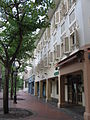
 The Riverwalk
 -
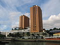
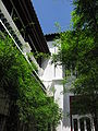
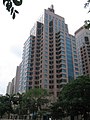
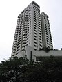 The Riverwalk Apartments


-
 Elgin Bridge
 -
 Elgin Bridge


-
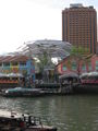
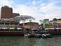
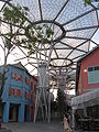
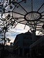
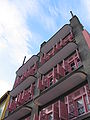
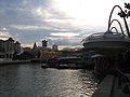
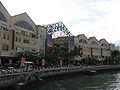
 Clarke Quay
 -
 Clarke Quay
 -
 Clarke Quay
 -
 Clarke Quay
 -
 Clarke Quay
 -
 Clarke Quay
 -
 Clarke Quay
 -
 Clarke Quay
 -
 Clarke Quay
 -
 Clarke Quay
 -
 Clarke Quay
 -
 Clarke Quay
 -
 Clarke Quay
 -
 Clarke Quay
 -
 Clarke Quay
 -
 Clarke Quay
 -
 Clarke Quay
 -
 Clarke Quay
 -
 Clarke Quay
 -
 Clarke Quay
 -
 Clarke Quay
 -
 Clarke Quay
 -
 Clarke Quay
 -
 Clarke Quay
 -
 Clarke Quay
 -
 Clarke Quay
 -
 Clarke Quay
 -
 Clarke Quay
 -
 Clarke Quay
 -
 Clarke Quay
 -
 Clarke Quay
 -
 Clarke Quay
 -
 Clarke Quay
 -
 Clarke Quay
 -
 Clarke Quay
 -
 Clarke Quay
 -
 Clarke Quay
 -
 Clarke Quay
 -
 Clarke Quay
 -
 Clarke Quay
 -
 Clarke Quay
 -
 Clarke Quay
 -
 Clarke Quay
 -
 Clarke Quay
 -
 Clarke Quay
 -
 Clarke Quay
 -
 Clarke Quay
 -
 Clarke Quay
 -
 Clarke Quay
 -
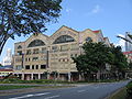
 Liang Court
 -
 Liang Court
 -
 Liang Court
 -
 Liang Court
 -
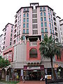
 Novotel Clarke Quay Hotel
 -
 Novotel Clarke Quay Hotel
 -
 Novotel Clarke Quay Hotel
 -
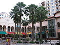
 Riverside Point
 -
 Riverside Point
 -
 Riverside Point
 -
 Riverside Point
 -
 Riverside Point
 -
 Riverside Point
 -
 Riverside Point
 -
 Riverside Point
 -
 Riverside Point
 -
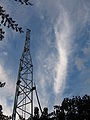
 Singapore River
 -
 Singapore River
 -
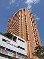
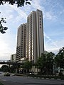
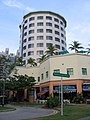
 Swissôtel Merchant Court Hotel
 -
 Swissôtel Merchant Court Hotel
 -
 Swissôtel Merchant Court Hotel


Havelock Road
edit-
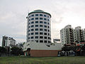
 Copthorne King's Hotel
 -
 Hotel Miramar
 -
 River View Hotel


Merchant Road
edit-
 Apollo Centre
 -
 Apollo Centre
 -
 Apollo Centre
 -
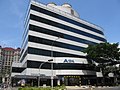
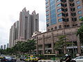
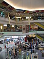
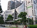
 Central Mall
 -
 Central Mall
 -
 Central Mall
 -
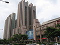
 Central Square
 -
 Fisher Street
 -
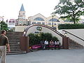
 Masjid Omar Kampong Melaka
 -
 Masjid Omar Kampong Melaka
 -
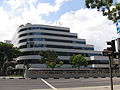
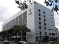
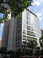
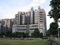
 Ministry of Manpower
 -
 Ministry of Manpower
 -
 Ministry of Manpower


-
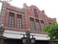
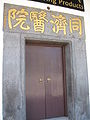
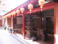
 Old Thong Chai Medical Institution
 -
 Old Thong Chai Medical Institution
 -
 Old Thong Chai Medical Institution
 -
 Old Thong Chai Medical Institution
 -
 Old Thong Chai Medical Institution
 -
 Old Thong Chai Medical Institution


-
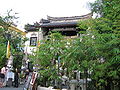
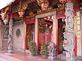
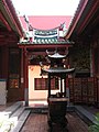
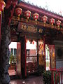
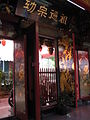
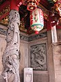
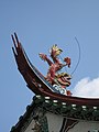
 Tan Si Chong Su Temple
 -
 Tan Si Chong Su Temple
 -
 Tan Si Chong Su Temple
 -
 Tan Si Chong Su Temple
 -
 Tan Si Chong Su Temple
 -
 Tan Si Chong Su Temple
 -
 Tan Si Chong Su Temple
 -
 Tan Si Chong Su Temple
 -
 Tan Si Chong Su Temple
 -
 Tan Si Chong Su Temple
 -
 Tan Si Chong Su Temple
 -
 Tan Si Chong Su Temple
 -
 Tan Si Chong Su Temple
 -
 Tan Si Chong Su Temple
 -
 Tan Si Chong Su Temple
 -
 Tan Si Chong Su Temple
 -
 Tan Si Chong Su Temple
 -
 Tan Si Chong Su Temple


North Canal Road
edit-
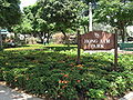
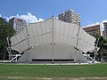
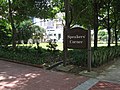 Hong Lim Park
 -
 Hong Lim Park
 -
 Hong Lim Park
 -
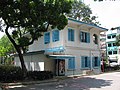 Kreta Ayer Neighbourhood Police Post
 -
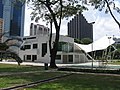 Telok Ayer Hong Lim Green Community Centre
 -
 Telok Ayer Hong Lim Green Community Centre
 -
 Telok Ayer Hong Lim Green Community Centre


-
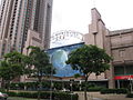
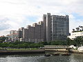
 Great World City
 -
 Great World City
 -
 Great World City
 -
 Great World City
 -
 Great World City


Robertson Quay
edit-
 Clemenceau Bridge
 -
 Mohamed Sultan Road
 -
 Mohamed Sultan Road
 -
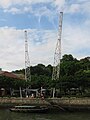
 Pulau Saigon Bridge
 -
 The Quayside
 -
 The Quayside
 -
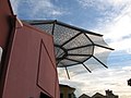
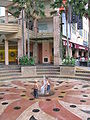
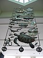 Sculpture at The Quayside
 -
 River Valley Road
 -
 Robertson Quay
 -
 Robertson Quay Hotel
 -
 Robertson Quay Hotel
 -
 Robertson Walk
 -
 Robertson Walk
 -
 Robertson Walk
 -
 Shell House
 -
 Shell House and UE Square Shopping Mall
 -
 Shell House and UE Square Shopping Mall
 -
 The Singapore Repertory Theatre
 -
 Singapore River, view from Pulau Saigon Bridge
 -
 UE Square Shopping Mall
 -
 UE Square Shopping Mall


