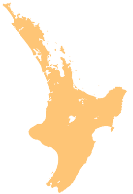
The Waiaua River is a river of the Taranaki Region of New Zealand's North Island. It flows southwest from the slopes of Mount Taranaki to reach the Tasman Sea at Ōpunake.
| Waiaua River | |
|---|---|
 Bridge over the Waiaua River south-east of Ōpunake (circa 1910s). | |
 Route of the Waiaua River | |
| Location | |
| Country | New Zealand |
| Physical characteristics | |
| Source | |
| • location | Mount Taranaki |
| • coordinates | 39°18′13″S 174°03′05″E / 39.30355°S 174.0514°E |
| Mouth | |
• location | South Taranaki Bight |
• coordinates | 39°27′46″S 173°51′42″E / 39.4627°S 173.8618°E |
• elevation | 0 m (0 ft) |
| Length | 25 km (16 mi) |
| Basin features | |
| Progression | Waiaua River → South Taranaki Bight → Tasman Sea |
| Tributaries | |
| • left | Waiaua Fork Stream |
The New Zealand Ministry for Culture and Heritage gives a translation of "waters containing herring" for Waiaua.[1] Aua is usually translated as yellow-eye mullet.[2]
See also
editReferences
edit"Place name detail: Waiaua River". New Zealand Gazetteer. New Zealand Geographic Board. Retrieved 12 July 2009.
- ^ "1000 Māori place names". New Zealand Ministry for Culture and Heritage. 6 August 2019.
- ^ "aua". Māori Dictionary. Te Whanake. Retrieved 31 December 2019.
External links
edit- Photo - railway bridge in 1925

