


Ye District
Ye Township
Ye District ပွိုင်ဍုင်ရေဝ် ရေးမြို့နယ် ရေးခရိုင် | |
|---|---|
 Location in Mon State | |
| Coordinates: 15°18′N 97°58′E / 15.300°N 97.967°E | |
| Country |  Myanmar Myanmar |
| State |  Mon State Mon State |
| District | Ye District |
| Capital | Ye |
| Area | |
• Total | 2,720.7 km2 (1,050.5 sq mi) |
| Population (2014) | |
• Total | 263,624 |
| • Density | 96.896/km2 (250.96/sq mi) |
| Time zone | UTC+6:30 (MMT) |
Ye Township (Burmese: ရေးမြို့နယ်; Mon: ပွိုၚ်ဍုၚ်ရေဝ်) is the only township of Ye District (Burmese: ရေးခရိုင်) in the Mon State, Myanmar. The Ye District was formed in April 2022 by splitting the singular Ye Township from the rest of former Mawlamyine District.[1][2] Its principal town is Ye.[3]
Towns and villages
[edit]References
[edit]- ↑ "Expansion of new districts: New districts expanded in Nay Pyi Taw, regions and states". Myanmar International Television. 2 May 2022.
- ↑ "Expansion of new districts in Nay Pyi Taw, regions and states". 2 May 2022.
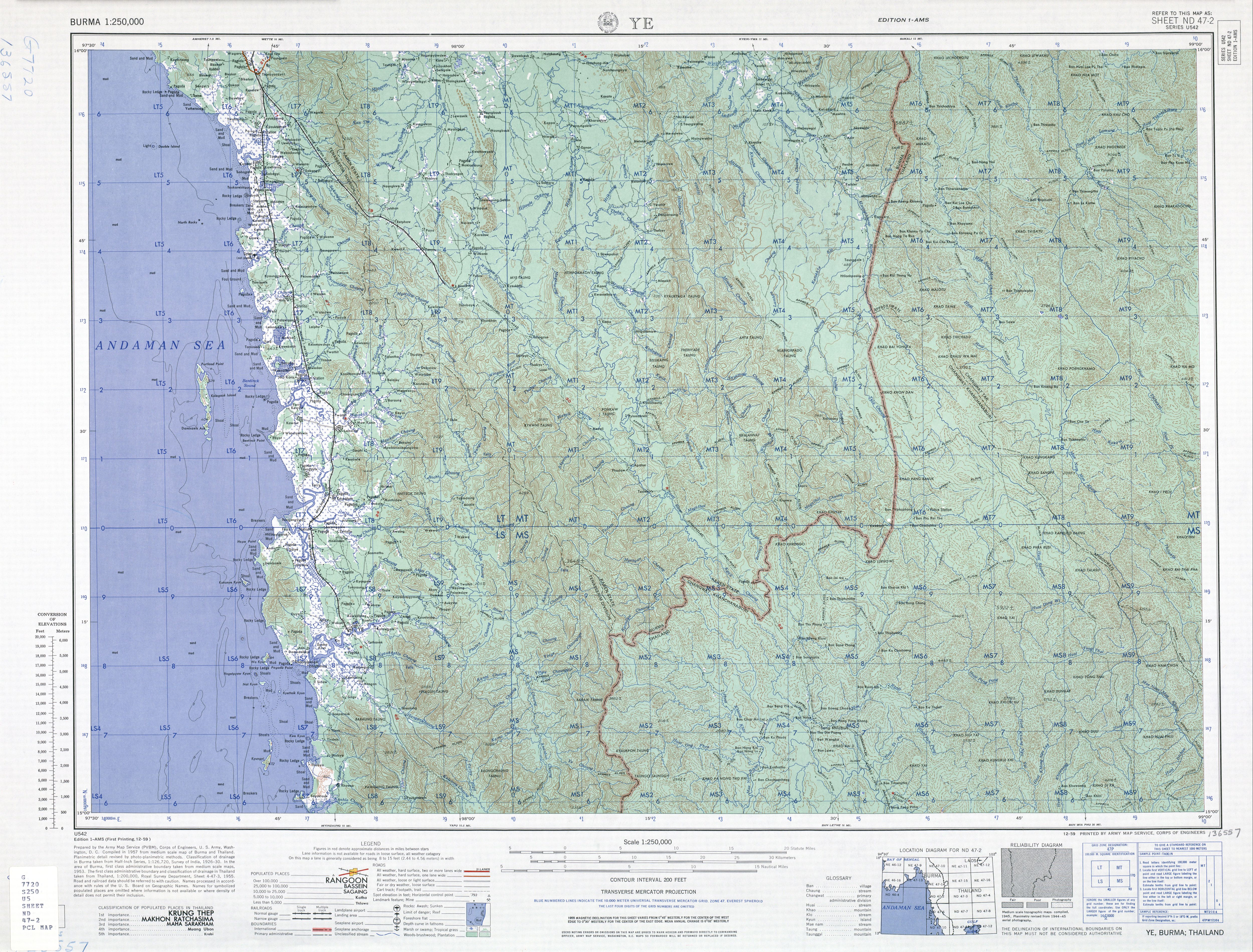
- ↑ Square LS7 - Burma 1:250,000 topographic map, Series U542, ND 47-02 Ye U.S. Army Map Service, December 1959
- ↑ "Mon State Place Codes". Myanmar Information Management Unit. September 2017. Archived from the original on 28 February 2018. Retrieved 27 February 2018.
External links
[edit]- "Ye Township - Mon State"[permanent dead link] map, 4 August 2010, Myanmar Information Management Unit
Capital: Mawlamyine | ||
| Mawlamyine District | .svg)  | |
| Thaton District | ||
| Kyaikto District | ||
| Ye District | ||
| Cities, towns, and villages |
| |
 | This Mon State location article is a stub. You can help Wikipedia by adding missing information. |