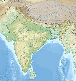
Mottu Palle is a village in Komarolu mandal Prakasam district of the Indian state of Andhra Pradesh. Mottu Palle is 9 km (5.6 mi) from Komarolu
Location of Mottu Palle in India.
Geography
editMottu Palle is located at 15.2254°N 78.9556°E. It has an average elevation of 250 metres (820.21 feet)
Demographics
editAccording to the Indian census, 2011, the demographic details of Mottu Palle Village is as follows:
- Total Population: 415 in 118 Households.
- Male Population:211 and Female Population: 214
- Total Literates:47.54%
References
edit- "Mottu Palle Village Population - Komarolu - Prakasam, Andhra Pradesh". census2011.co.in. Retrieved 12 September 2016.
- https://www.google.co.in/maps/place/Mottu+Palle,+Andhra+Pradesh+523373/@15.2277467,78.9534637,1100m/data=!3m1!1e3!4m5!3m4!1s0x3bb4ebdf46f14ded:0x3537788afd2b9839!8m2!3d15.2254702!4d78.9556932
- "Mottu Palle Village in Komarolu (Prakasam) Andhra Pradesh | villageinfo.in". villageinfo.in. Retrieved 12 September 2016.
- "MPPS, MOTTU PALLI- Mottu Palli, Komarolu". studyapt.com. Retrieved 12 September 2016.
- "Mottu Palle, Komarolu mandal, Prakasam District Information - Sindh India". sindhindia.com. Retrieved 12 September 2016.
- http://pincodeno.com/area/41147/mottu-palle-pincode
