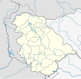
Padri Top or Padri Pass is a hill station situated 41 kilometres (25 mi) North of Bhaderwah on [interstate link] Bhaderwah–Chamba National Highway. It has 99.7 kilometres (62.0 mi) long meadows and used for adventure sports like snow-skiing in winters and Paragliding in summers. It is the highest Pass on Bhaderwah-Chamba National Highway located between the borders of Jammu and Kashmir and Himachal Pradesh.[3][4]
| Padri Top | |
|---|---|
| Padri Pass | |
Padri Top in Bhaderwah, Jammu and Kashmir | |
| Floor elevation | 3,037 m (9,964 ft)[1] |
| Geography | |
| Country | India |
| State | Jammu and Kashmir |
| Region | Jammu region |
| District | Doda district |
| Coordinates | 32°54′40″N 75°48′02″E / 32.9110087°N 75.8005142°E [2] |
Route
editThe route starts from provincial headquarter and nearest airport at Jammu. The road starts from Jammu to Batote (via NH1A), changing route from Batote — Pul Doda (via NH244), turning left near Neeru Bridge towards Doda —Bhaderwah road.
References
edit- ^ Travel guide to the top of Padri Pass, retrieved 26 November 2020
- ^ "Padri Pass on Google Maps". Retrieved 26 November 2020.
- ^ "Padri – District Doda". www.doda.nic.in. Retrieved 26 November 2020.
- ^ "Bhaderwah, the Mini-Kashmir, is now hogging the limelight for all good reasons". Times of India. 11 July 2020. Retrieved 26 November 2020.

